I have hiked to Gloria Falls many times and it has always been beautiful. This particular hike was in December and as usual – Gloria Falls didn’t disappoint!
The trailhead for Gloria Falls is in Little Cottonwood Canyon in the Wasatch Mountains of Utah. It is about 6.5 miles up Little Cottonwood Canyon Rd from Wasatch Blvd, or less than 2 miles west of Snowbird Ski Resort. This was also the trailhead for trails to White Pine Lake, Red Pine Lake, Maybird Lakes and the Pfeifferhorn.
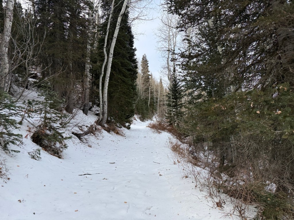
Getting to Gloria Falls was a pretty easy hike a few days ago. My hiking buddy and I wore microspikes because of snow and ice on the trail. The trail started down a short distance to a bridge crossing Little Cottonwood Creek. From there it was a fairly gentle ascent of about .9 miles following the White Pine Lake Trail. We came to a place where the trail to Gloria Falls, Red Pine Lake and Maybird Lakes split off the main trail.
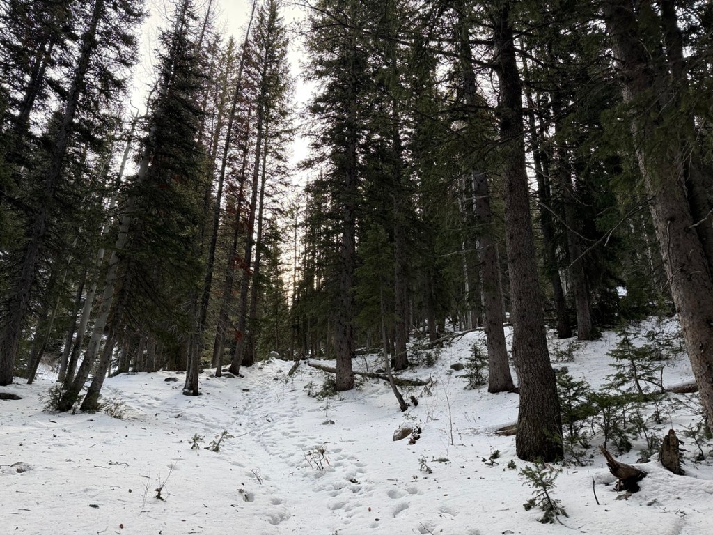
Then it was a quick walk to another creek crossing. After crossing the bridge we scampered up through the snowy forest to Gloria Falls. The trail from the bridge to the mostly frozen waterfall was steeper, but was less than a 10 minute hike.
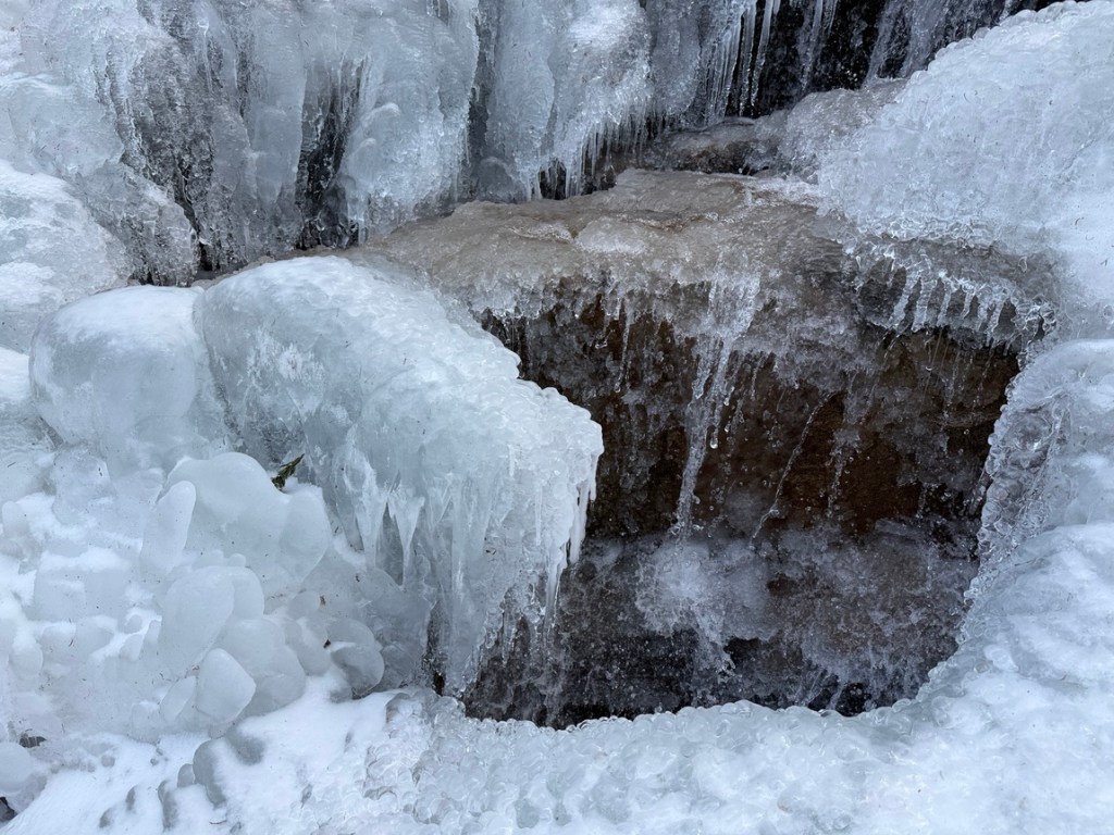
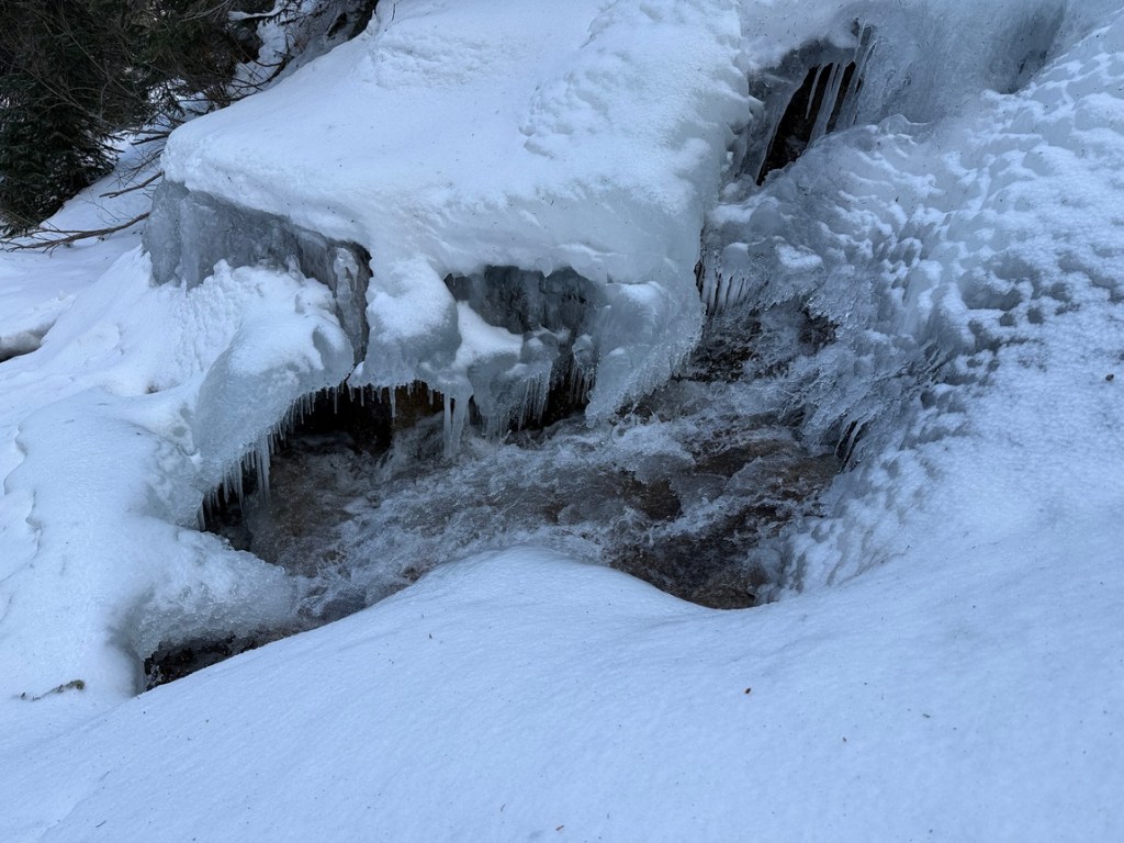
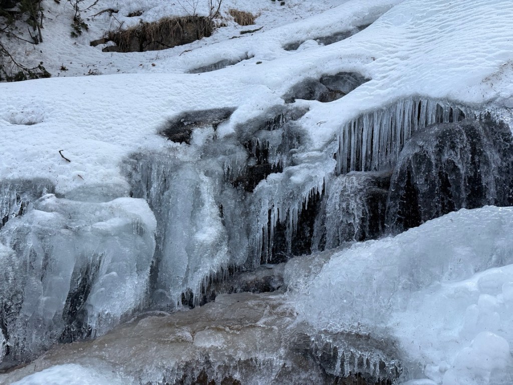
As expected, Gloria Falls was iced over and covered with snow in most places. But water was flowing in gaps with some fun icicles and ice formations. We stopped to admire the beauty and sound of water cascading down the rocks and through the ice and then decided to climb to the top.
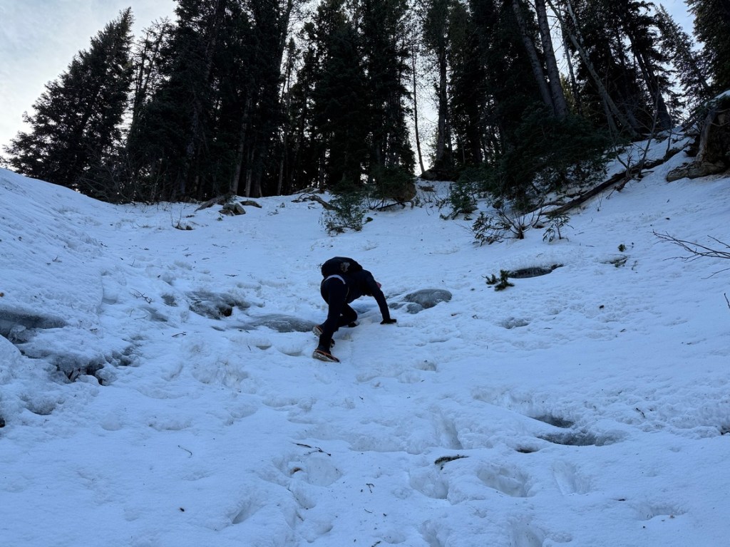
Even though neither us was experienced in climbing steep snow and icy terrain in spikes, the climb wasn’t bad. People had obviously gone up before us and there were some footholds already in place. Having said that, it was a bit tricky and we both loved the challenge!
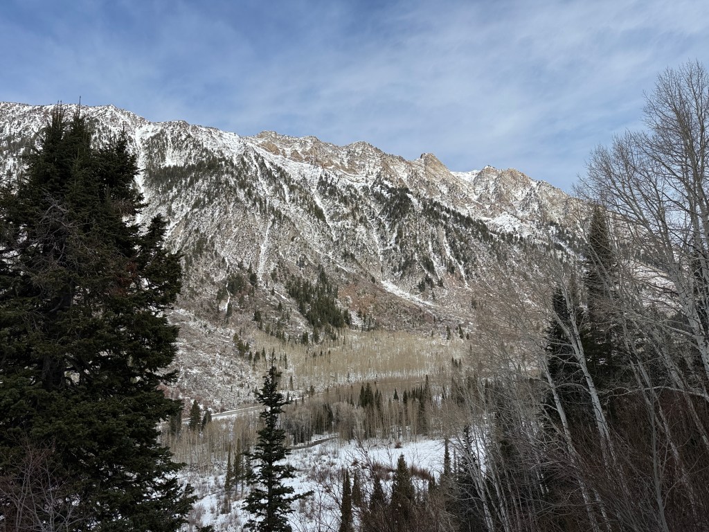
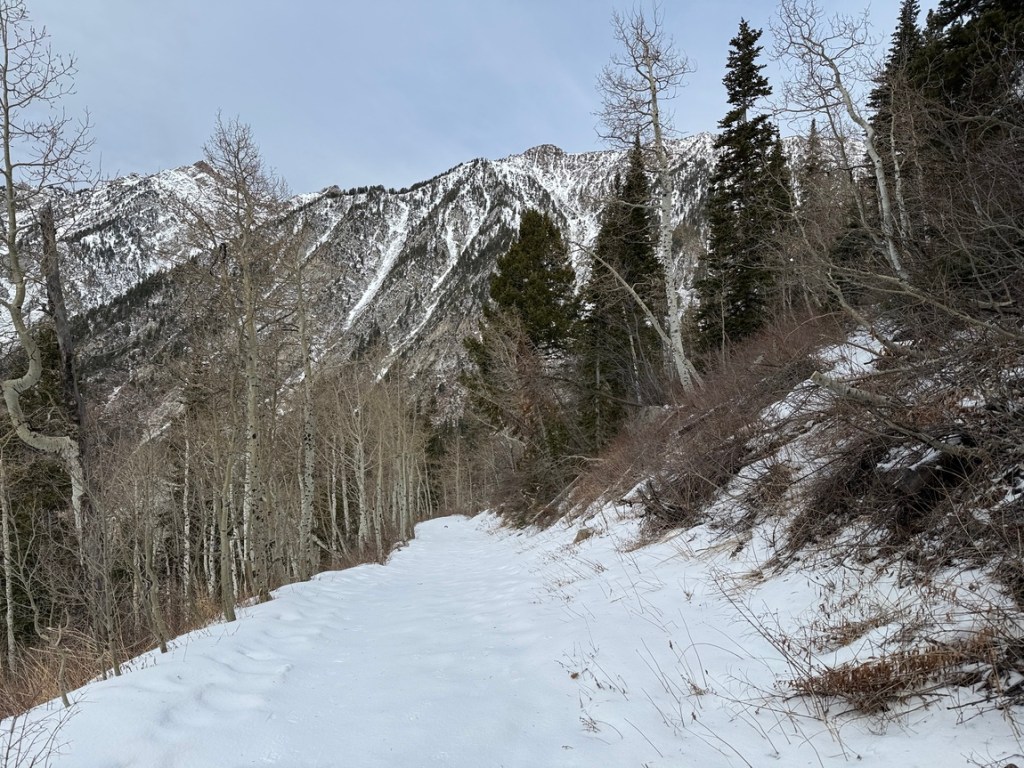
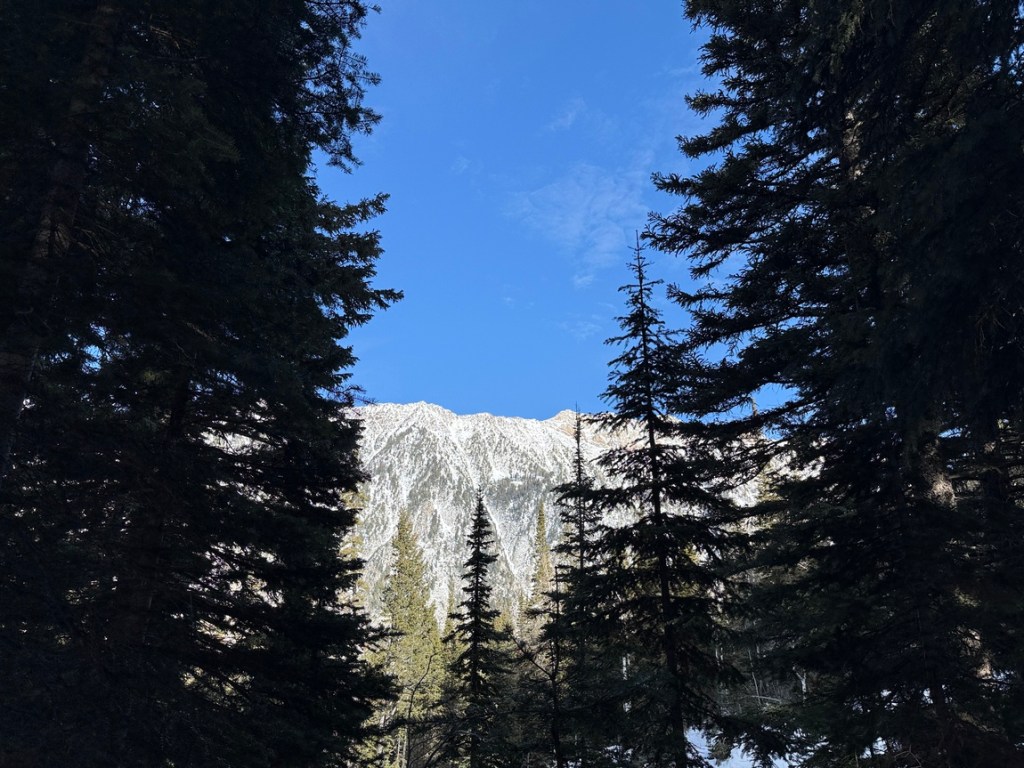
The hike to the falls and back to the parking area was less than 3 miles, but it was an absolute blast! The beauty of the mountains on the other side of the canyon against the blue sky was stunning!
If you want to check out the trail to Gloria Falls, do your homework on the weather first. The trail can be very icy in winter months and very wet (like a stream) in the summer. Click HERE for a trailhead location map.


Leave a comment