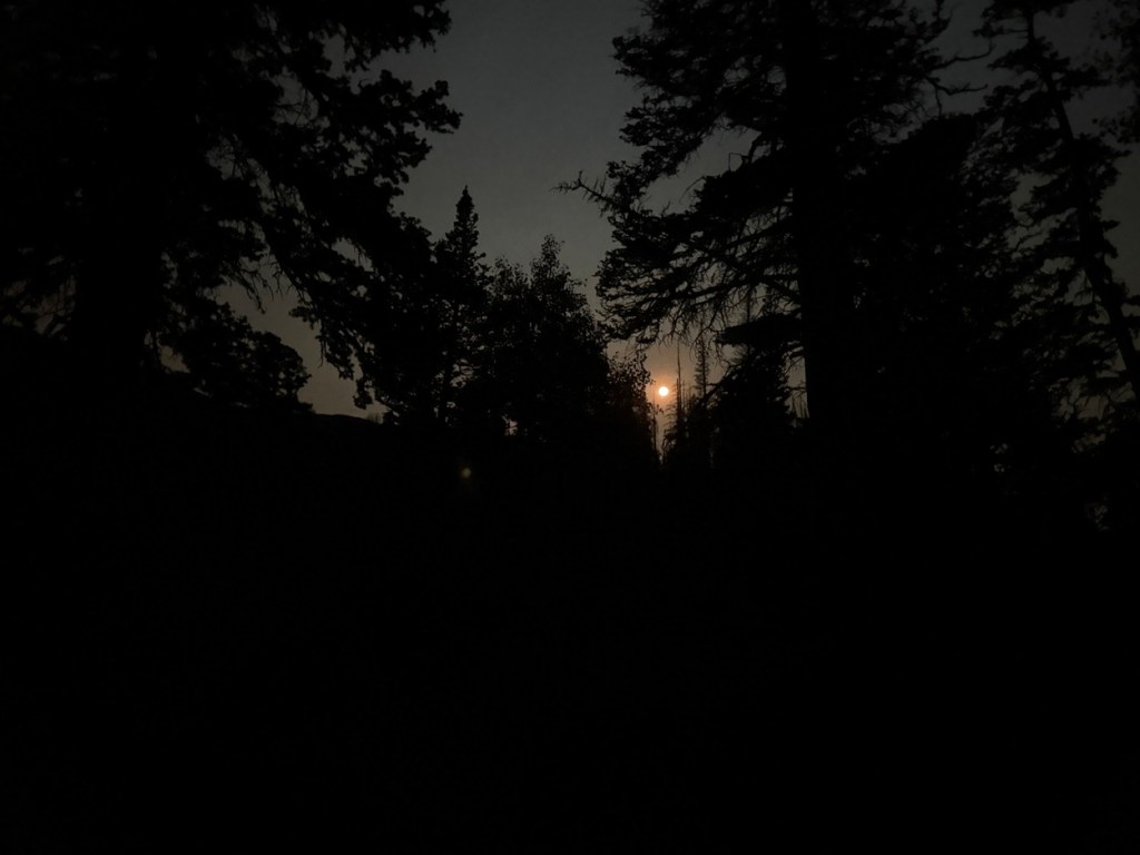
I started at the trailhead about a third of a mile off the Mount Nebo Scenic Byway. It was about 5:30 am and the moon was huge and bright in the pre-dawn sky. The trail went up a hill for a while before dropping to a dry creek crossing. Then I got into a wooded area before coming to the first steep section of the trail.
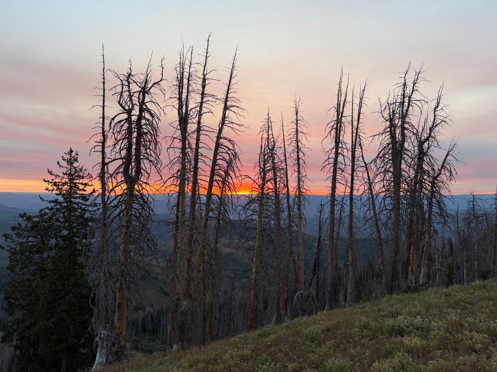
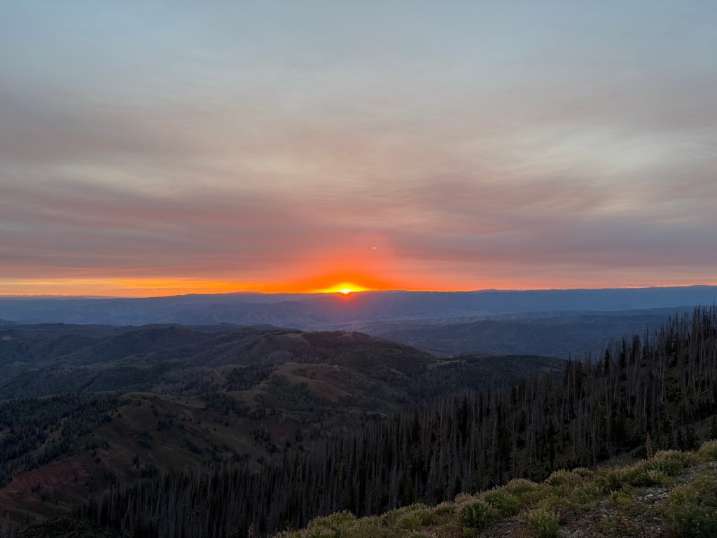
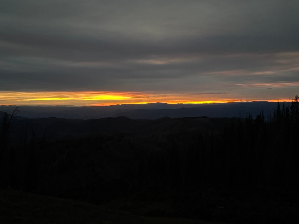
As I pushed up the side of an area that looked to have been repeatedly cleared by winter avalanches the first light from what would be an awesome sunrise came up. This section was steep all the way to a ridge that was at around 10,620 feet. I paused at the top of the ridge for some photos and video. The first 2.5 miles and 1360 vertical feet were behind me.
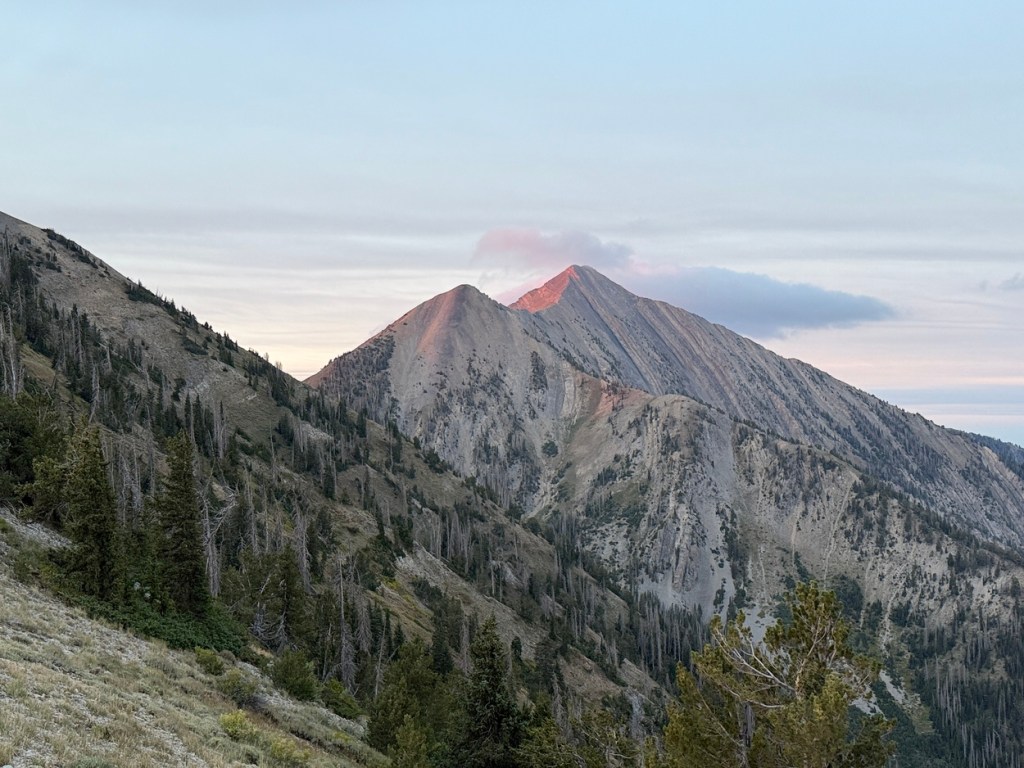
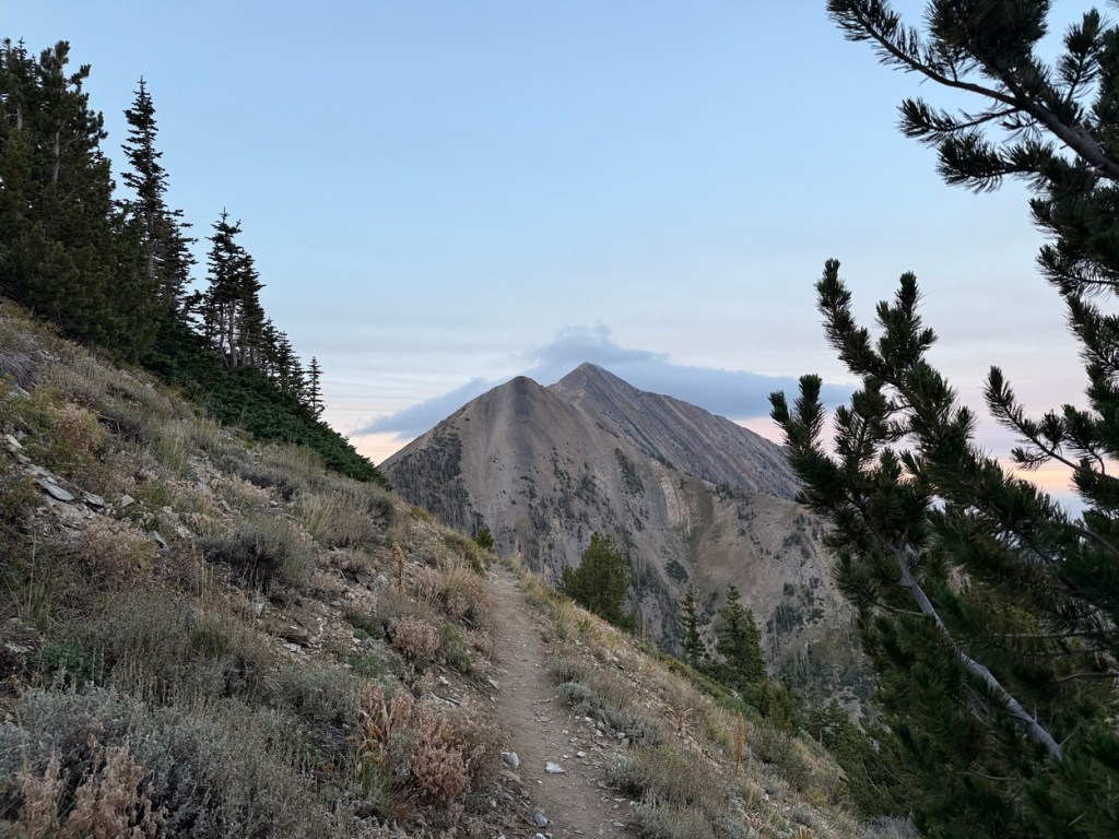
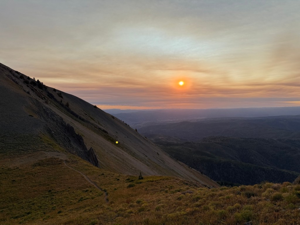
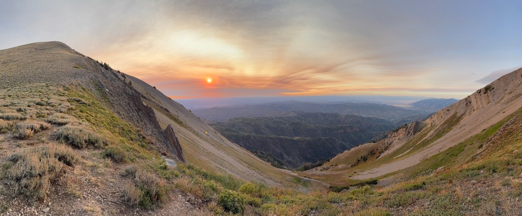
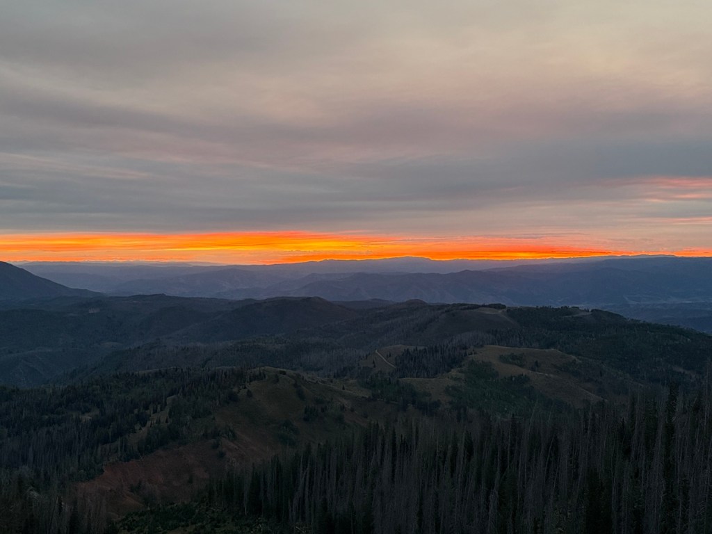
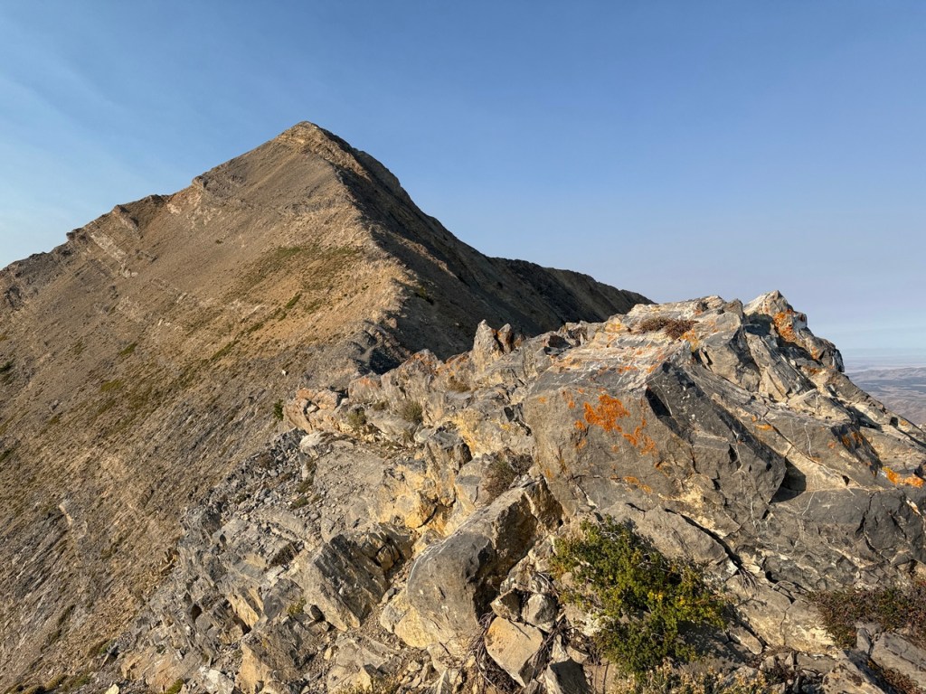
From here I lost some elevation and went a little less than a mile and around north peak to Wolf Pass. As I dropped from the ridge I got my first really close look at the false summit and the real summit of Mt. Nebo. It was just after sunrise and the top of Nebo had a pink glow on it from the early morning sun.
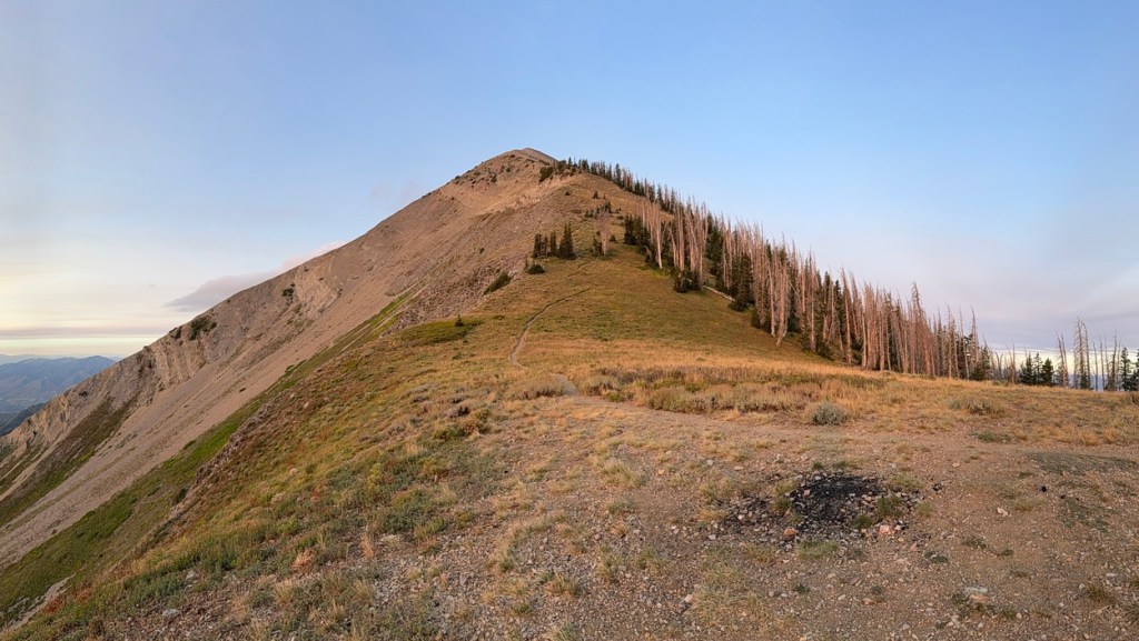
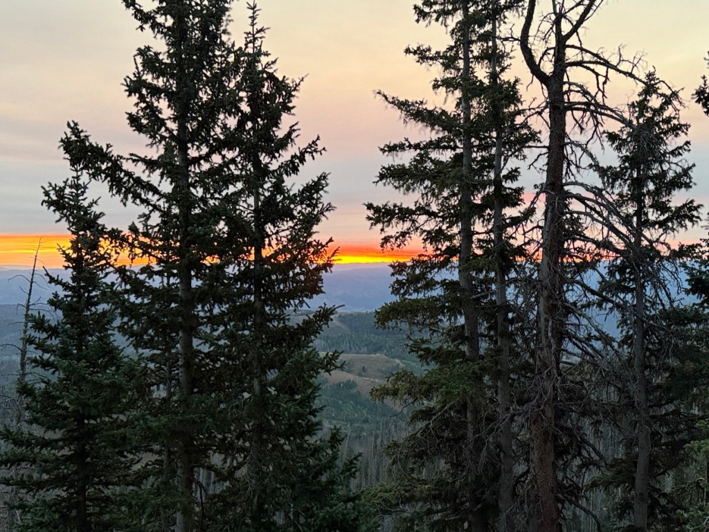
This is where things would get much steeper. Wolf Pass was a perfect place for a break for water and a high-energy snack before pushing on. From Wolf Pass to the false summit of Nebo took me up over 600 vertical feet in just over .4 miles. After already having covered some steep terrain, this his was a thigh-burner and had my heart absolutely pounding!
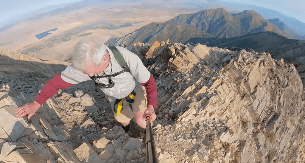
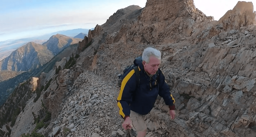
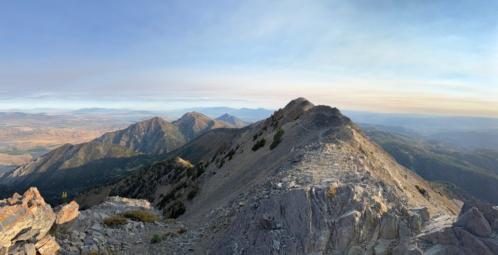
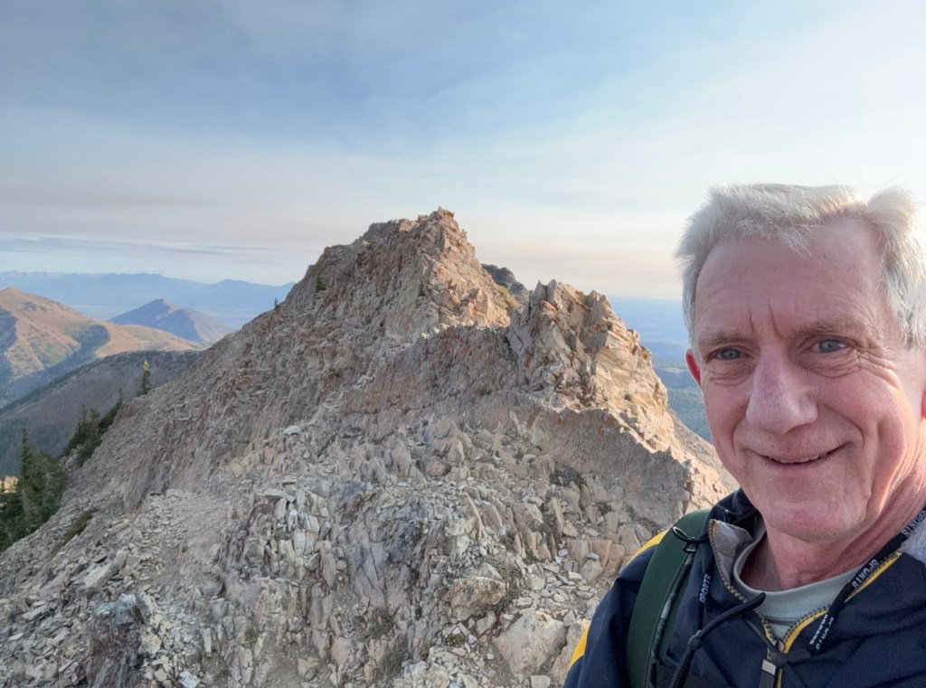
From the false summit to the start of the climb to the actual summit of Mt. Nebo was a .2 mile ridge with significant exposure on both sides. The trail was easy to follow, but more challenging than anything I had covered to this point.
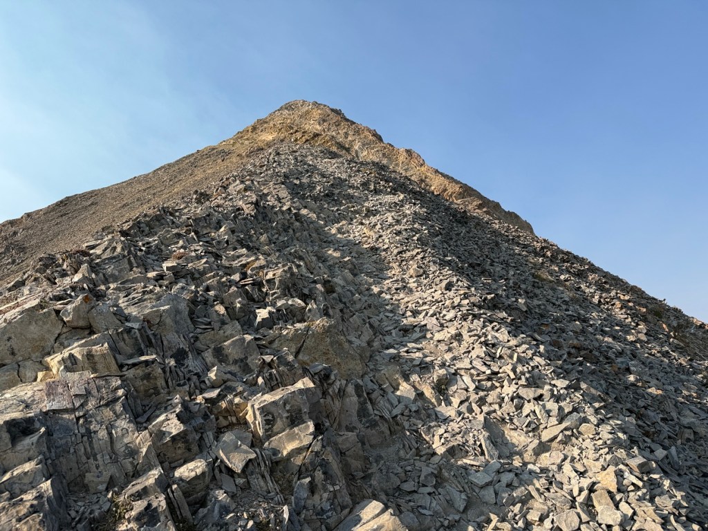
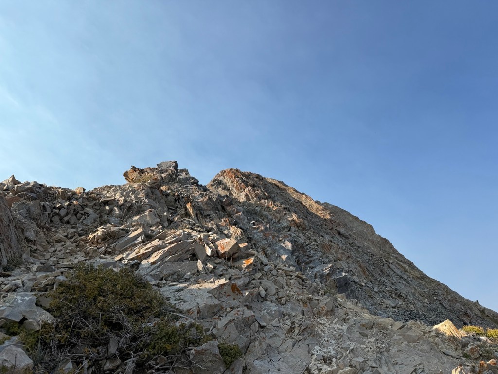
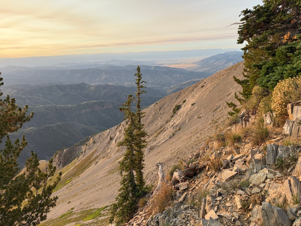
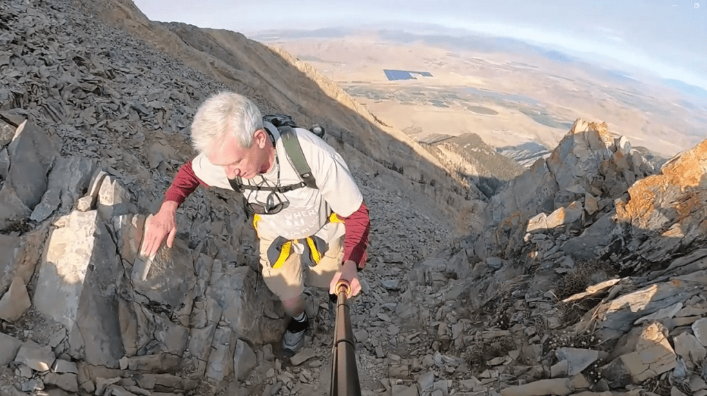
The last .3 miles to the summit was really where the hike turned to a much more challenging scramble. It took me up the final 530 or so vertical feet and there really wasn’t a trail to follow.
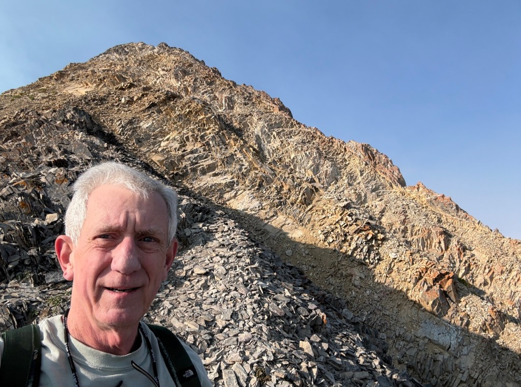
On parts of the trail past the false summit I needed to have the camera stowed away because I needed to use my hands for balance and stability. Above is some video that I put together that summarizes my hike and scramble up Mt. Nebo.
What follows are more images from my hike up Mt. Nebo.


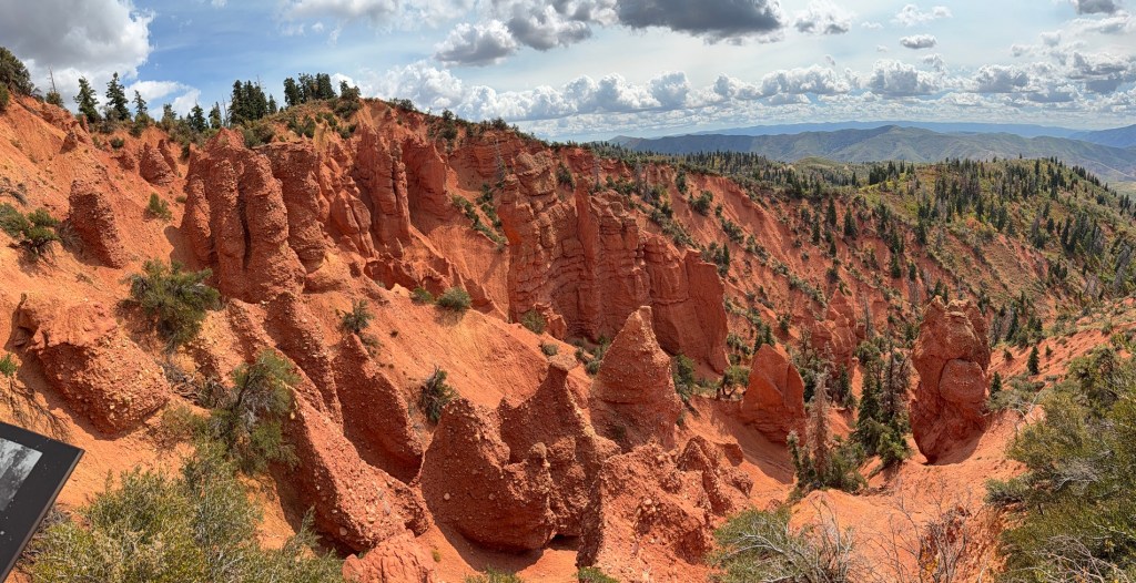
By the way, Devils Kitchen, which is sort of a mini Bryce Canyon, is just down the road from the Mt. Nebo trailhead. I took a quick look after my Nebo hike and enjoyed it quite a bit!
Stats for my Nebo hike: total time 6:33, moving time 4:38, base 9250. Total distance was 9.13 miles and 4,226 vertical feet gained. Actual delta (vertical from the trailhead to the summit) was 2,678 feet, but there were significant ups and downs that added to the total.
If you feel like a good challenge and want to hike Mt. Nebo, here are directions: From the town of Payson, get on the Mount Nebo Scenic Byway (Nebo Loop), aka Forest Road 015, and drive about 24 miles to the signed Nebo Bench Trailhead. You can start hiking there, or follow the dirt road immediately on the right as you enter the parking area. Go another .3 miles to a second parking area and you can cut your total distance a bit.
My hike and scramble up Mt. Nebo was the most difficult hike I have done since moving to Utah three years ago. It was tough for this Old Hiking Dude, but extremely rewarding!


Leave a comment