I had wanted to hike Mt. Raymond ever since moving to Utah 3 years ago, but it had always looked too daunting. After having done the Sword in the Stone Scramble earlier this month, I decided to give Mt. Raymond a shot.
My hike up Raymond started at the Butler Fork South Trailhead. This was a little over 8 miles up Big Cottonwood Canyon from Wasatch Blvd. The parking area was on the north side of UT-190 and it was small so I was happy to have arrived just before sunrise.
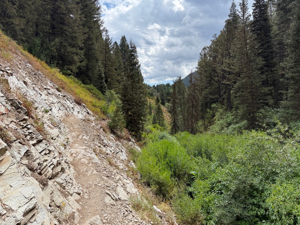
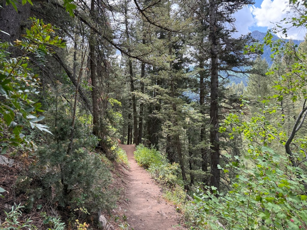
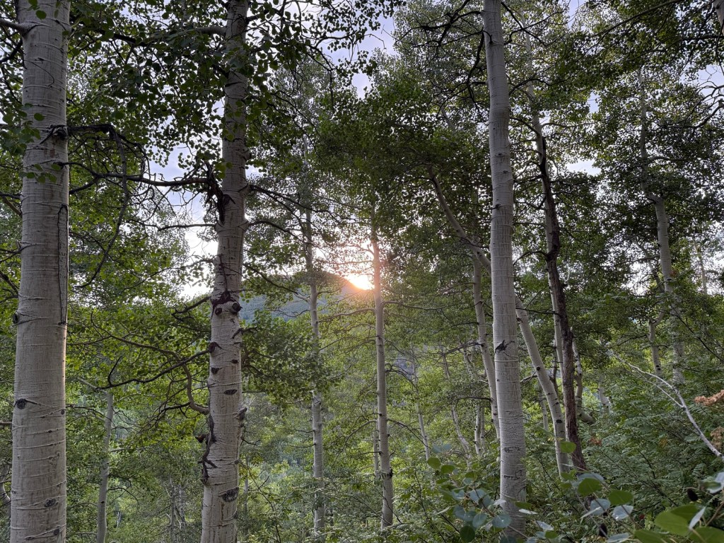
The trail started out along a creek and became pretty steep after the first few hundred feet. The trail passed a turn-off to Dog Lake and continued up along another creek through some nice aspen trees. At just over 1.8 miles the trail intersected with the Desolation Trail, where I turned left (west) to head toward Baker Pass. This segment is a bit over 1.3 miles and is where the fun was about to start.
By the way, at a little over 1.5 miles from the trailhead was a trail going south toward Circle All Peak. This is a fun side trip that takes hikers less than .2 miles to an 8,700 foot peak with a great view of the road going up Big Cottonwood Canyon toward the ski resorts of Solitude and Brighton. The last push to Circle All is rocky and steep and because I had done this before I decided to save it for another day.
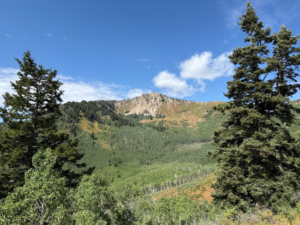
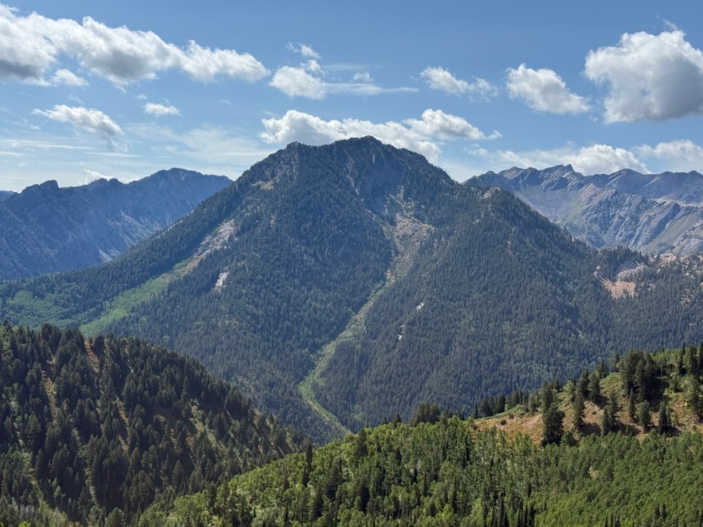
The segment of the trail between the Circle All trail and Baker Pass offered some awesome views across Big Cottonwood Canyon. I got a great view of Kessler Peak, which I had hiked up just two weeks earlier.
Hiking up Kessler Peak was quite a challenge because most of there was a lot of vertical gain over a relatively short distance -it was extremely steep. It was interesting crossing some sections where the aspens had been mowed down by significant winter avalanches that that had rumbled down Gobblers Knob. It really showed the incredible power of avalanches.
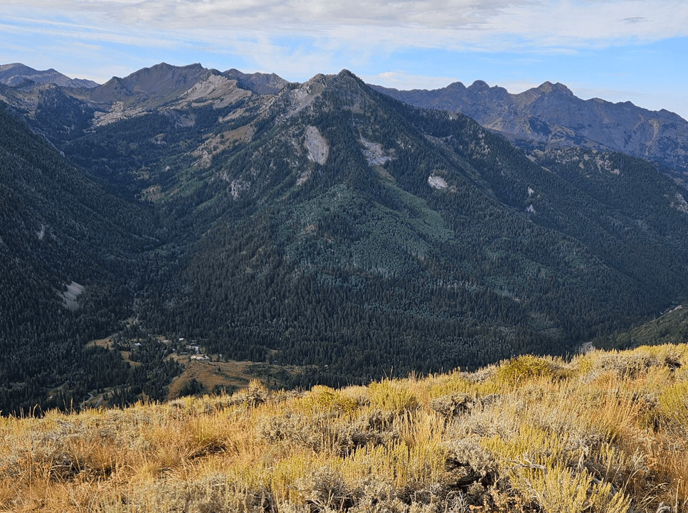
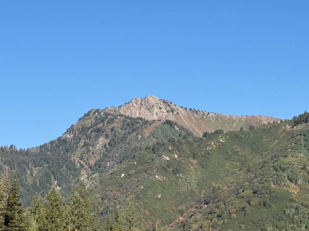
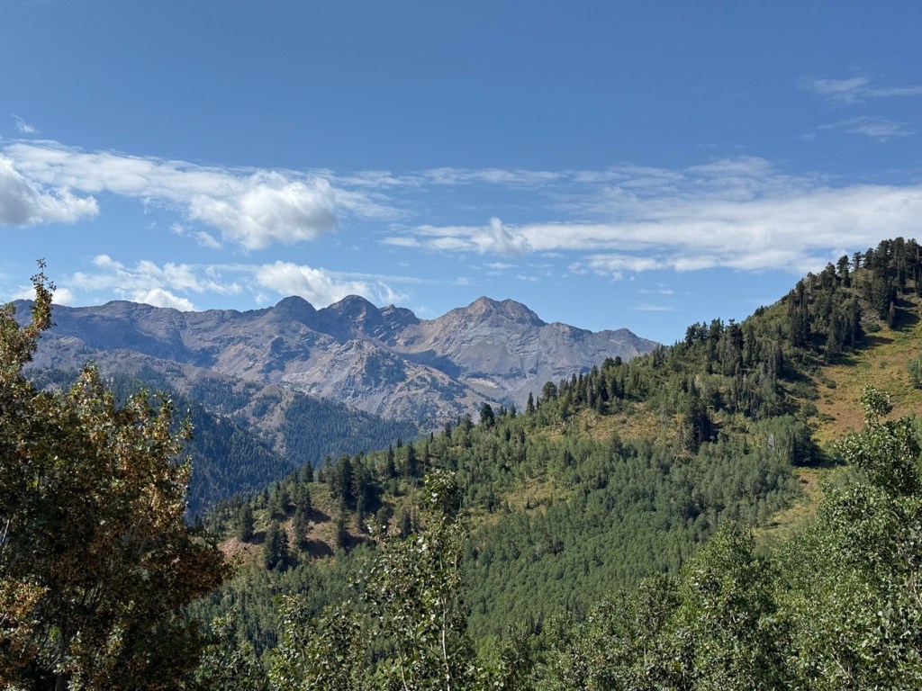
Baker Pass, a little over 3 miles from the trailhead, was a good place for a short break. To the west was my destination, Mt. Raymond. To the east was Gobblers Knob. Raymond is 10,241 feet high and the summit of Gobblers sits at 10,246. They are both great hikes, but today I would head up Mt. Raymond first the first time.
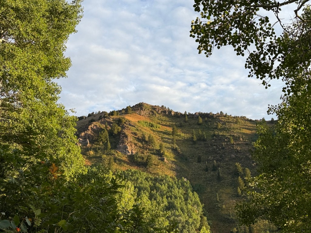
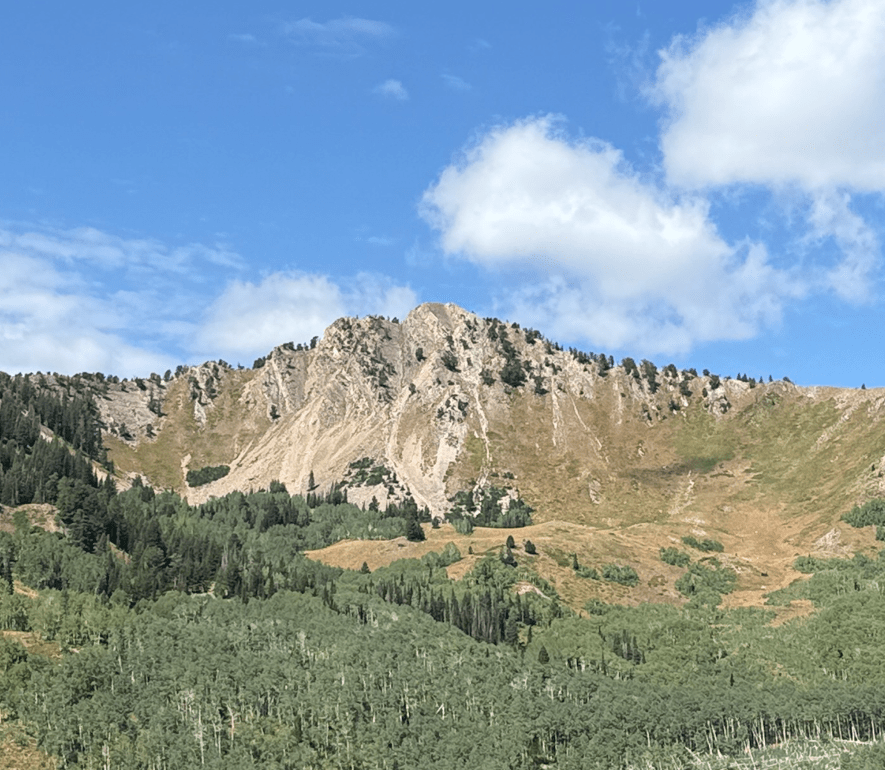
The image above is a teaser for anyone reading this. This is from a hike up Gobblers Knob in the fall
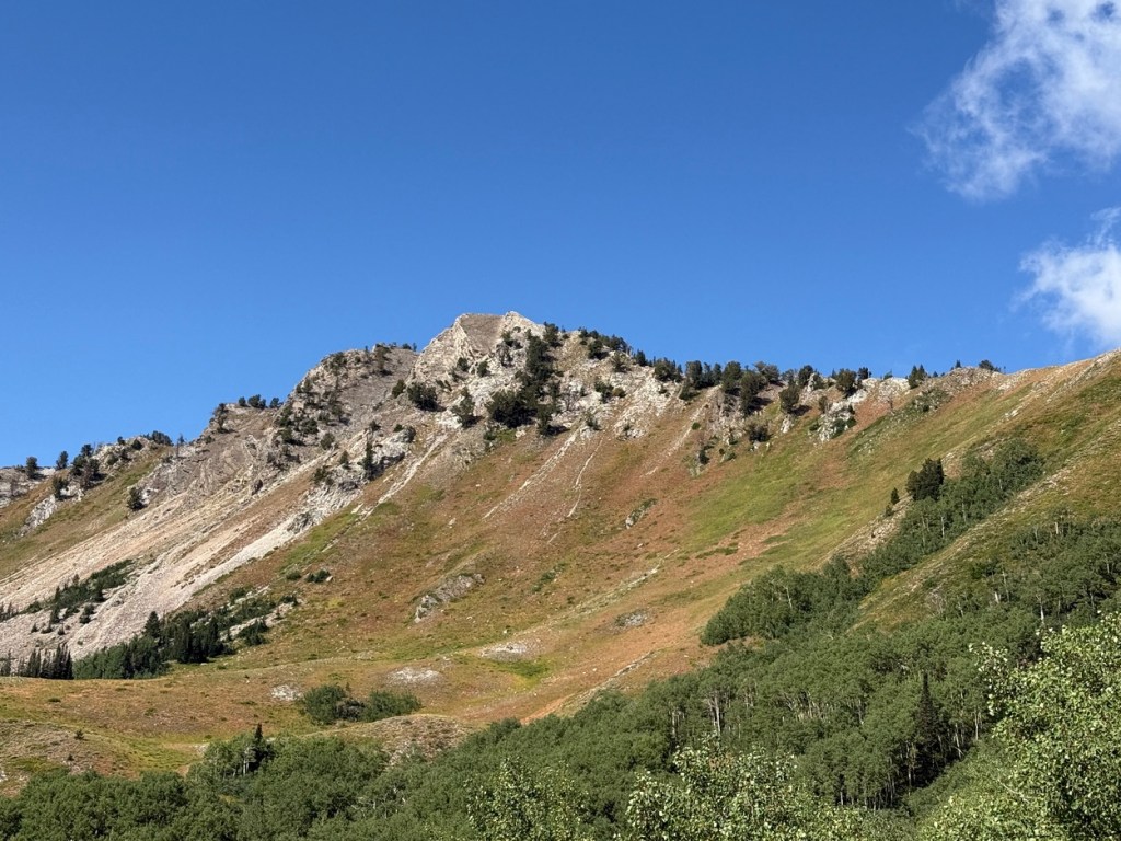
After a few minutes of gentle hiking the trail got steeper and a little more interesting. I was out of the aspens and on to a ridge that would become much more challenging over the next almost .7 miles to the summit.
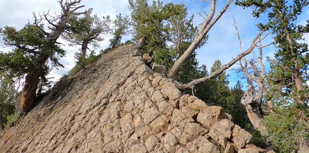
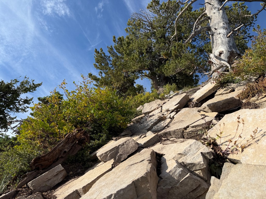
After climbing some steep terrain the trail leveled out for a while before coming to my first significant challenge. A wall of rock with a steep drop-off to the south rose up in front of me. This was the start of the actual scramble. The photos and video I took along the way describe this part of the hike better than words can.
There were places along the ridge with sharp drops off both sides and a slip could have been disastrous. I took things slowly and was using hands and feet quite a bit to navigate the rocky terrain. The trail was pretty easy to follow much of the time, but there were times I had to look around for the best route because it wasn’t clearly defined.
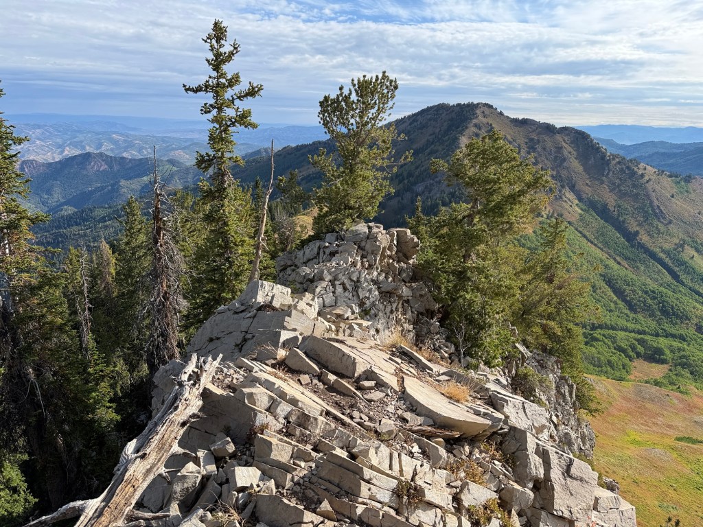
The final push to the summit was really a walk-up. I used my hands a little along the way, but it was more of a somewhat steep walk than a climb. I was very happy to reach the summit. It was small and very rocky with a steep ridge extending to the south -southwest and a very serious drop-off on one side.
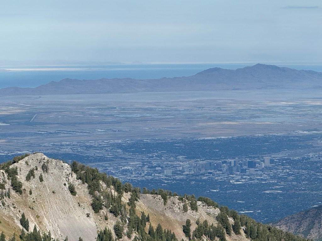
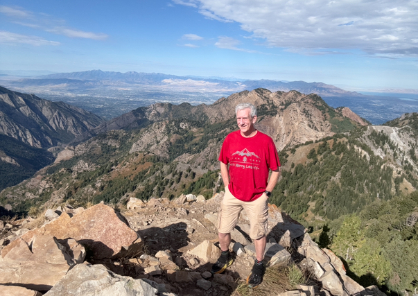
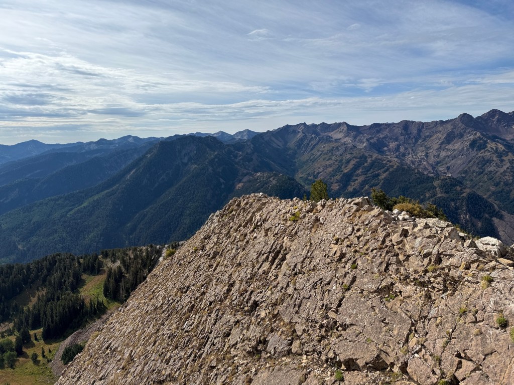
I lingered at the top for about 15 minutes, taking in the incredible 360 degree view. I could see the Salt Lake Valley with Sandy, where I live, just beyond the bottom of Big Cottonwood Canyon. I could see downtown Salt Lake City and the Great Salt Lake to the northwest.
To the northeast was Gobblers Knob, which I had gone up last year. I could have hiked that on the way back, but I was physically and mentally tired from the trek up Raymond so I just headed back down to the trailhead. If I had gone up Gobblers from Bakers Pass, it would have added about 1.6 miles and over 850 additional vertical feet.
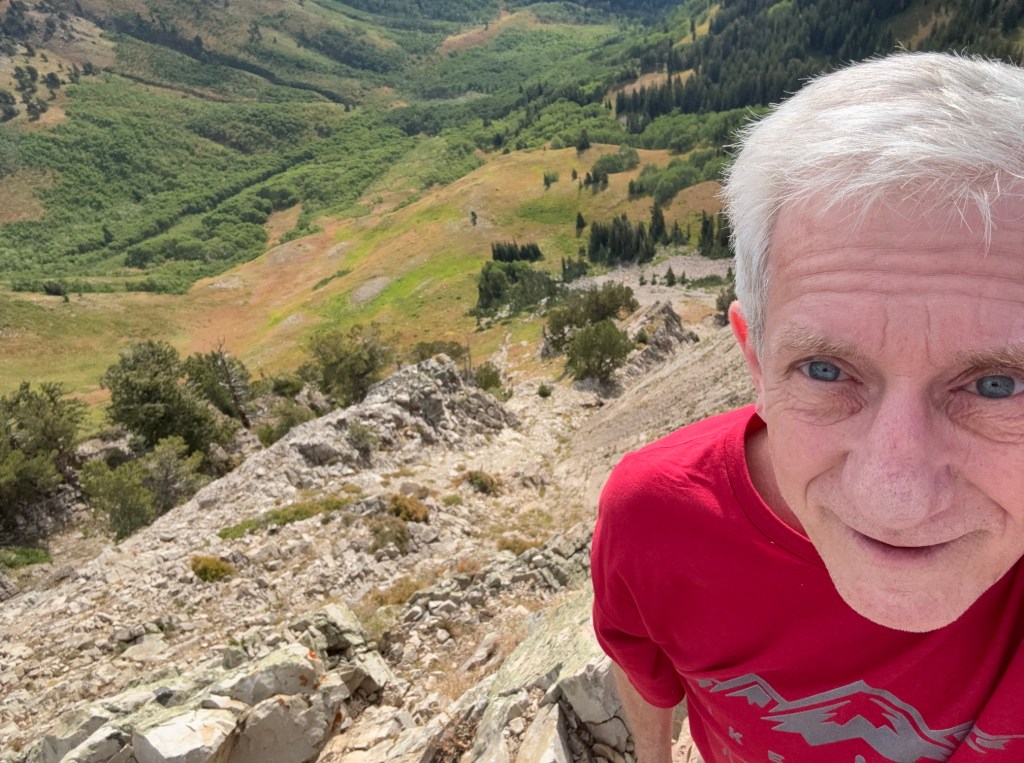
The trip back down the ridge to Bakers Pass was challenging. I almost always find doing back down steep terrain more difficult than going up so I just took it slowly and admired the gorgeous views.
The final push up the ridge to the summit of My Raymond was a challenging and enjoyable scramble. I have had almost no experience with this kind of scrambling and although it was very challenging for me, but I handled it without any problems.

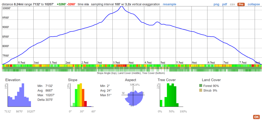
By the way, my hike up Raymond and back covered about 8.24 miles and a little over 3,000 feet of vertical gain and I was on the trail for about 6.5 hours. The hike would have been shorter, but I took a little side trip over to the base of the mountain to check it out from below.
This was a fairly hard hike, but it sure was fun for this Old Hiking Dude!

Leave a comment