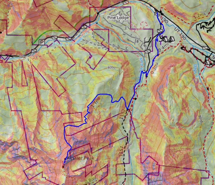
Kessler Peak is a 10,403 foot peak in the Wasatch Mountains of Utah and the hike to the summit is a beast! The hike starts at the Cardiff Fork Trailhead in Big Cottonwood Canyon. This is also trailhead for the hike to Donut Falls and the Mill D North Fork Trail, which will take you to Dog Lake or Desolation Lake.
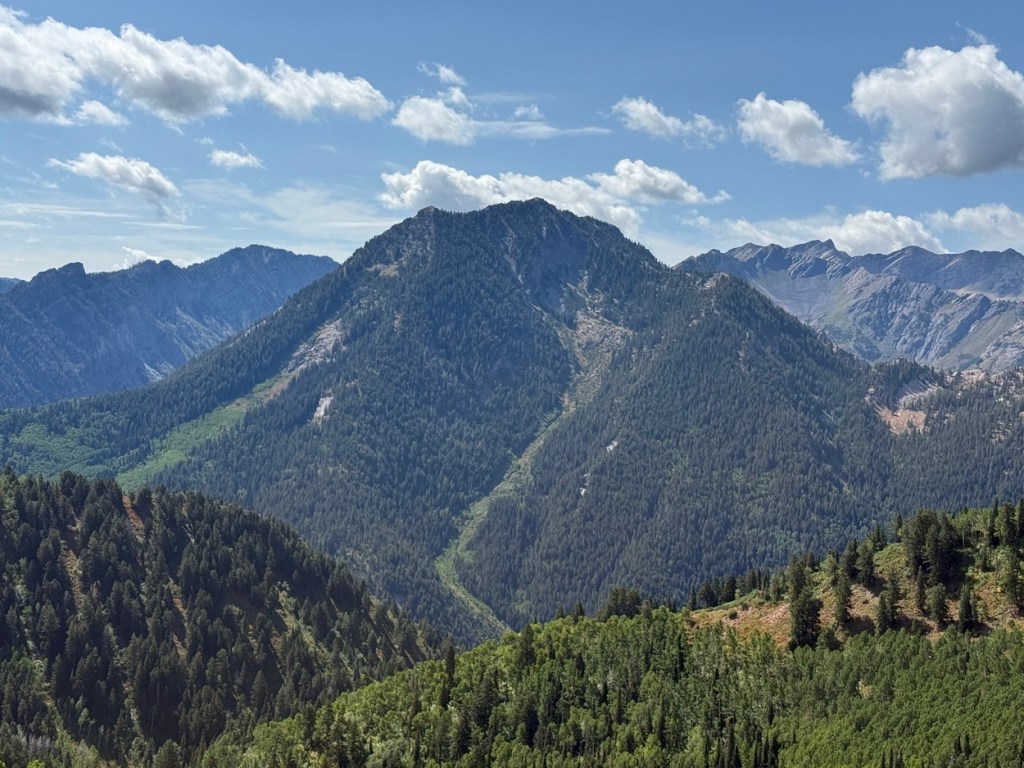
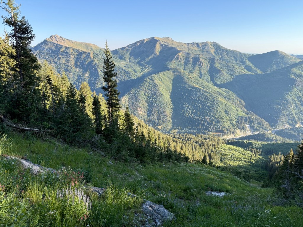
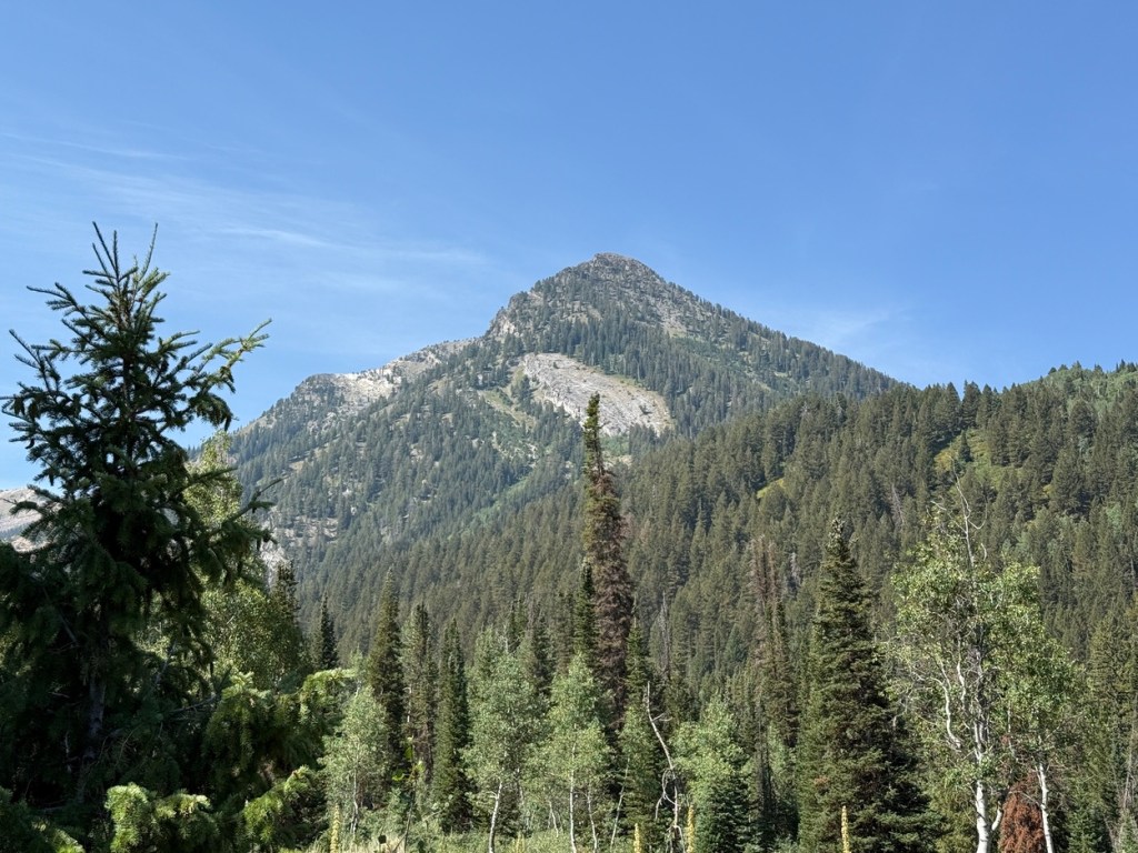
The images above are of Kessler Peak the other side Big Cottonwood Canyon. One is from when I was hiking up Mt. Raymond.
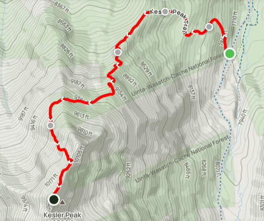
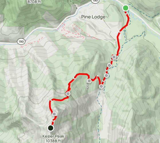
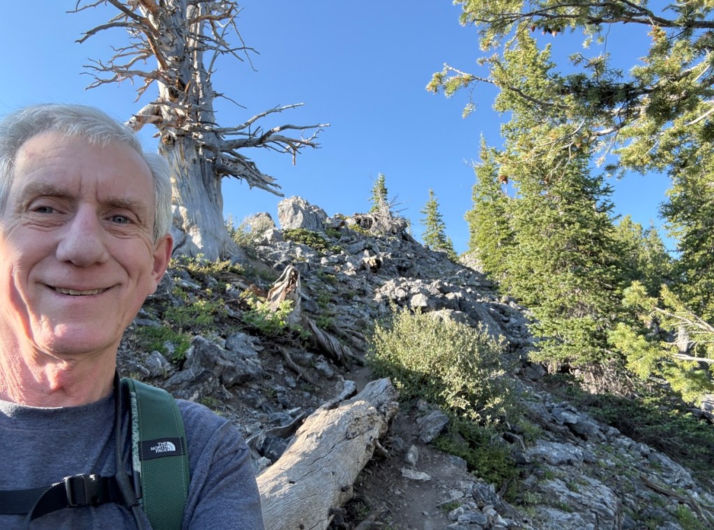
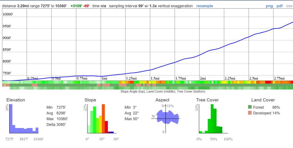
Kessler Peak was one of the most difficult, and rewarding, hikes I have done since starting to hike in Utah a few years ago. There are several options for going up Kessler Peak. The trail I took to the summit was about 3.2 miles in length and although the first mile or so was pretty simple, the last 1.75 miles climbed over 2,600 vertical feet. That was steep!
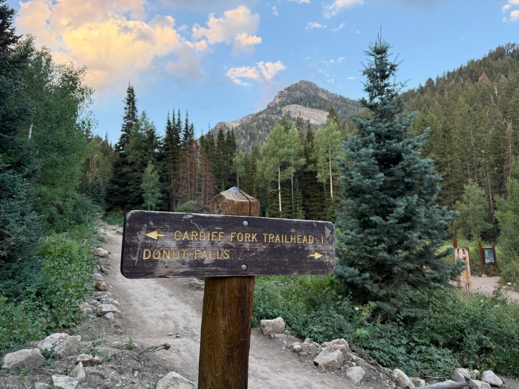
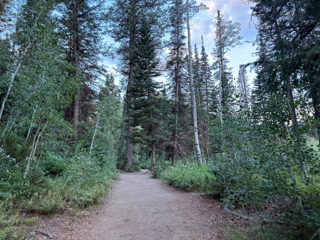
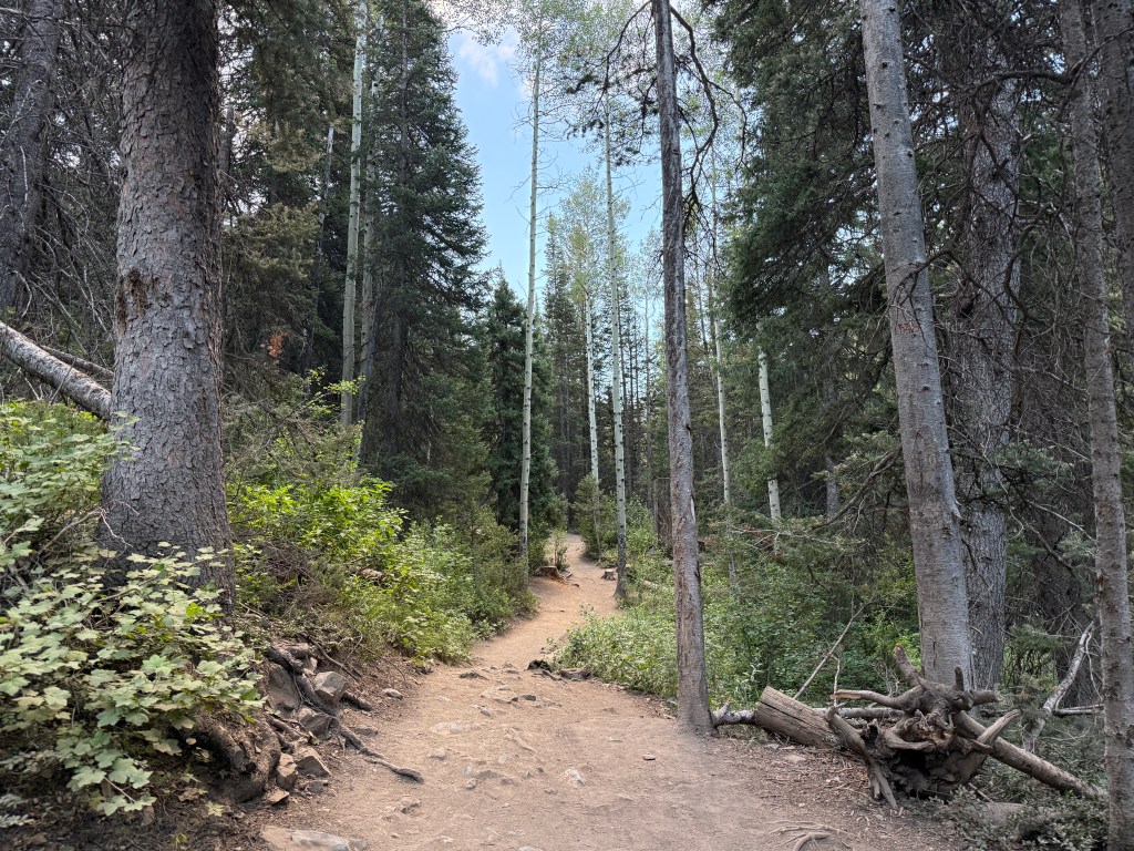
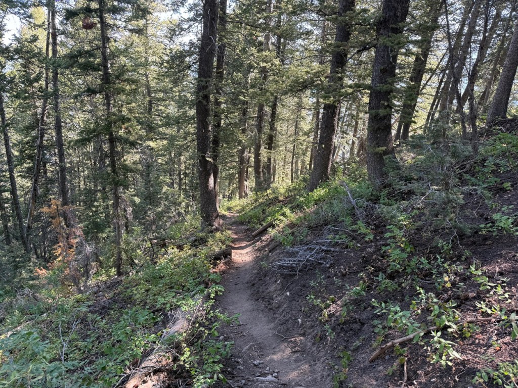
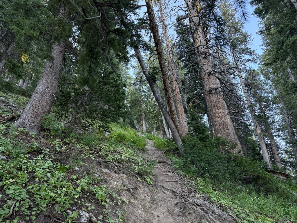
I started the hike a few minutes before sunrise and followed the trail that leads to the official start of the Donut Falls Trail. That segment was about a mile in length and gained just over 230 vertical feet. I then followed the dirt road that is part of the Cardiff Fork Trail for a little over half a mile before turning on to the trail up Kessler Peak. Then the trail got steep.
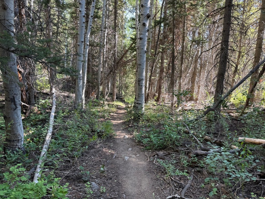
The slope of the last 1.75 miles averaged over 28 degrees, with sections getting as steep as 60 degrees or more. This part of the trail went up through brush and trees before opening up a little. I climbed up to and through aspens and then pines and things got much steeper and rocky.
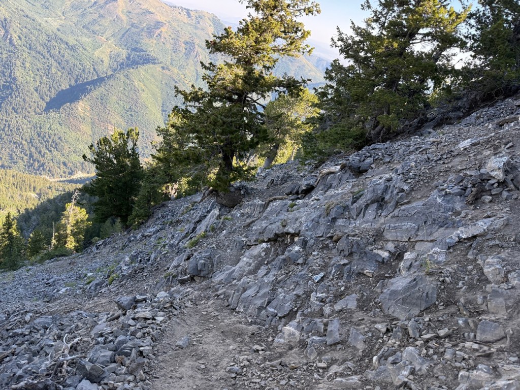
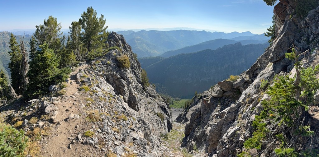
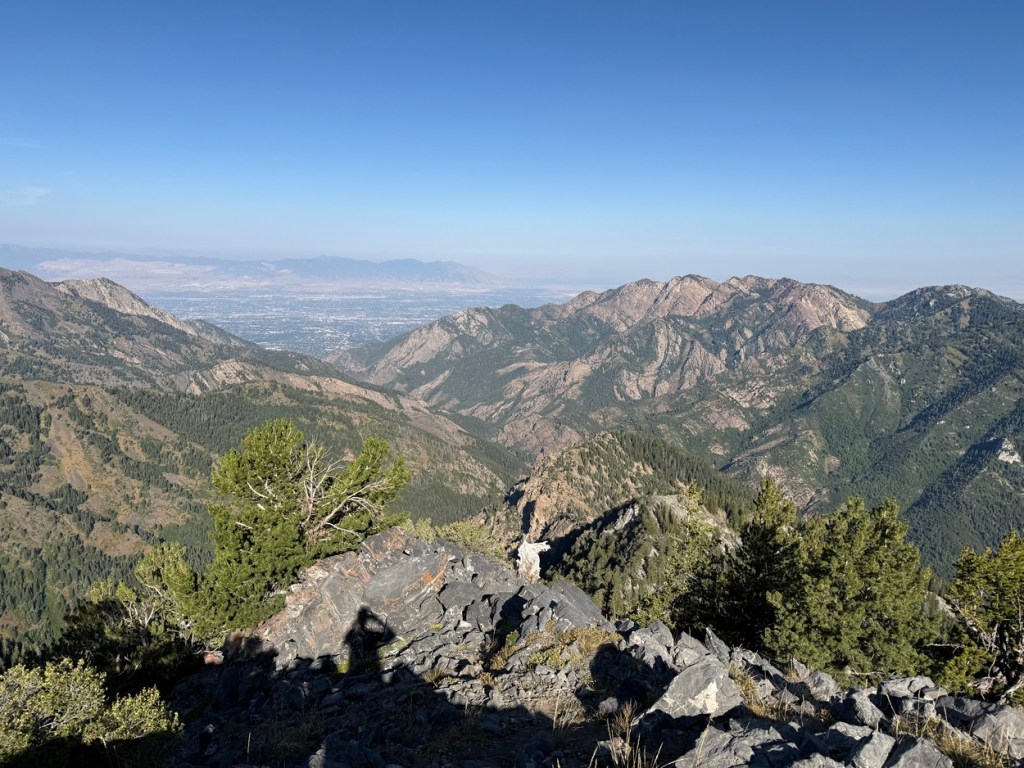
There were several areas where the trail traversed steep drops to the north and east and the view really opened up. I started to see a great view of Mt. Raymond and Gobblers Knob on the other side of Big Cottonwood Canyon. Farther up I could look down the canyon toward the Salt Lake Valley.
Kessler Peak is very prone to large avalanches in the winter and the avalanche paths were very clear when I crossed them. It was easy to see why back country skiers love to go up Kessler and ski some of these paths and chutes when conditions permit.
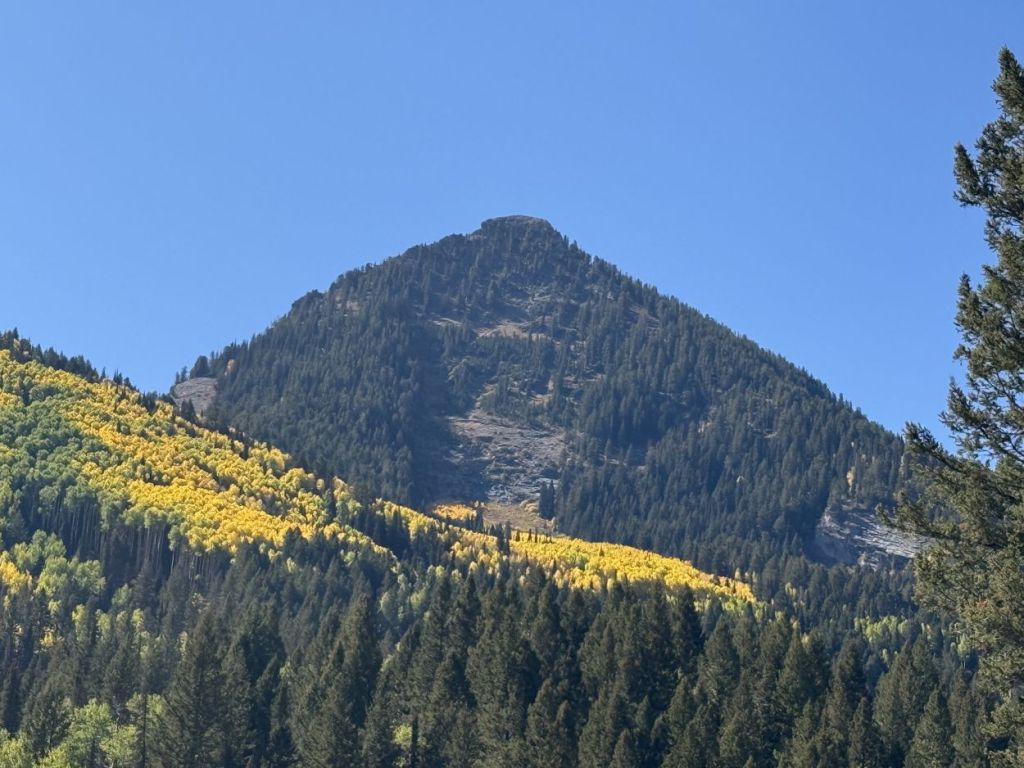
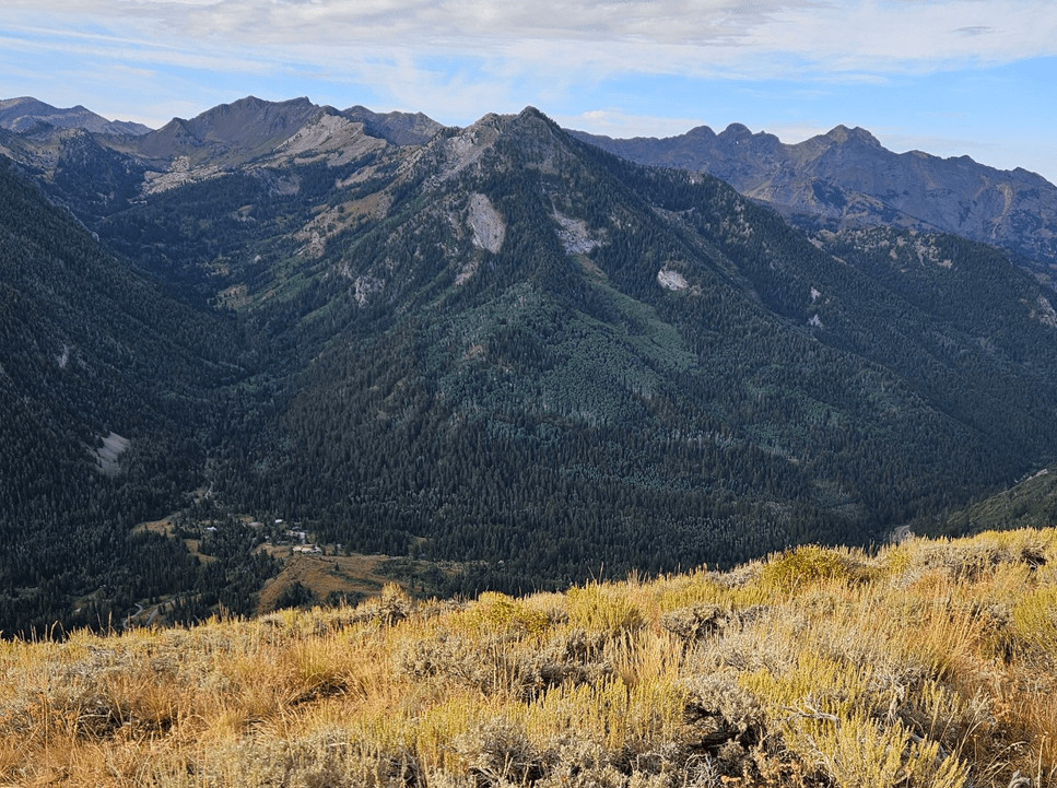
One large avalanche path is known as God’s Lawnmower. It is easy to see why it is called this because crossing it gave me a great view of the 55 degree slope dropping from the trail. Much of the “run” was void of trees because of frequent avalanches and until way down toward the bottom there was nothing but grass, wildflowers and small brush. I added the image of God’s Lawnmower with fall colors in late September.
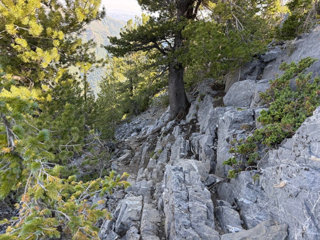
Just past this point the trail got very steep again and my legs and lungs were burning and I was taking frequent breaks.
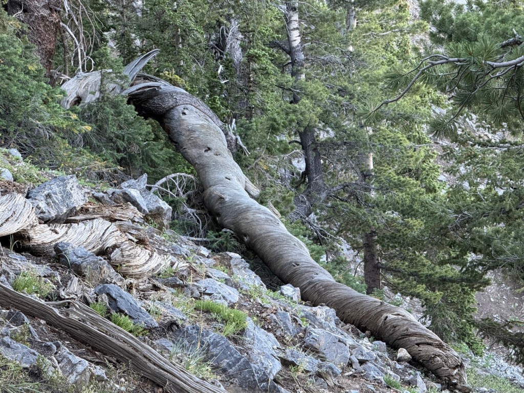
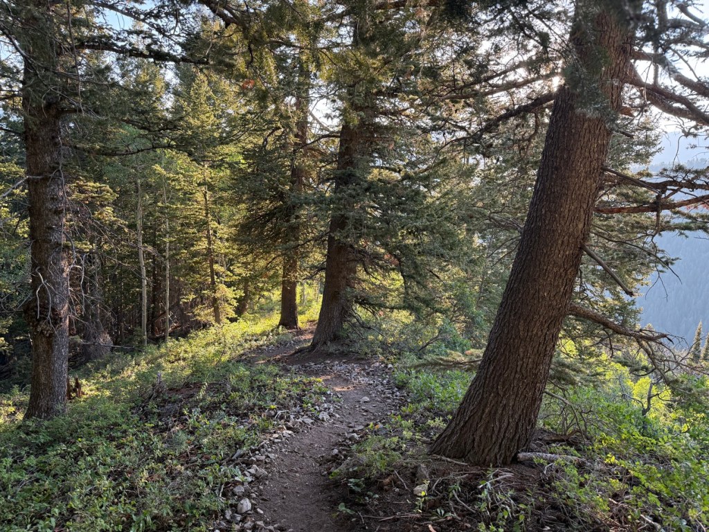
The trees were more sparse, but magnificent looking. Many were dead, some still standing and some laying on the ground, and looked like sentinels watching over the mountain.
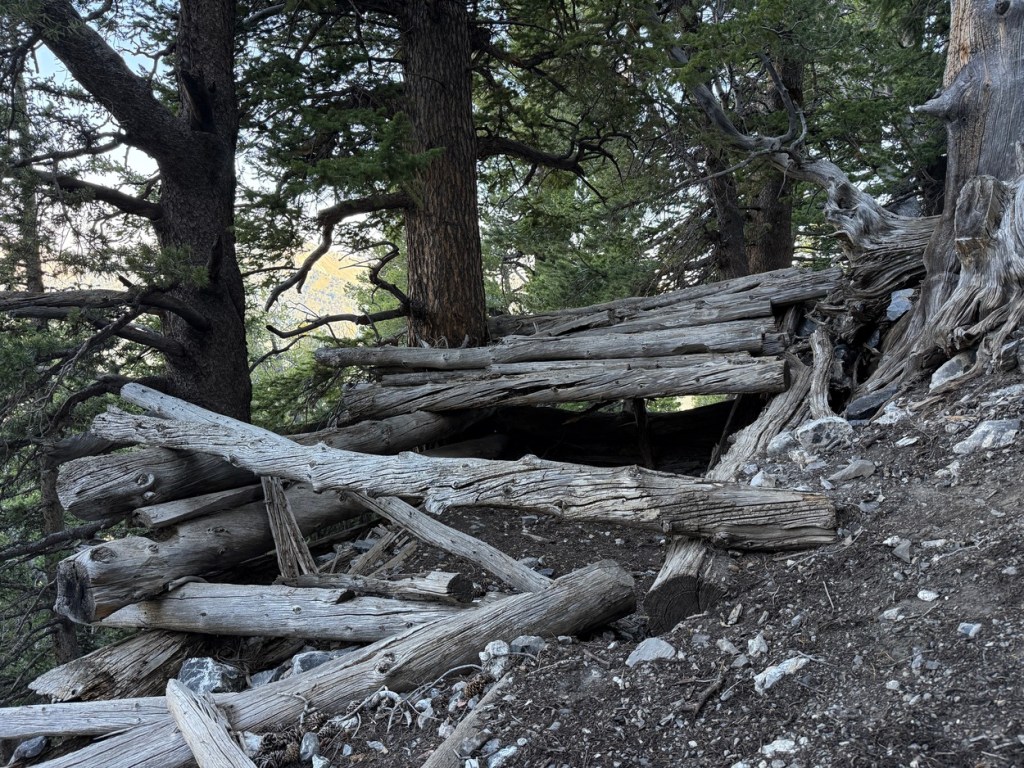
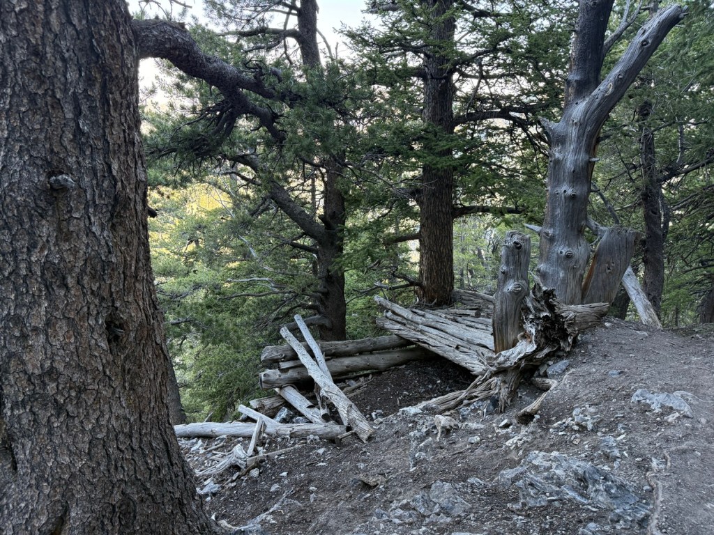
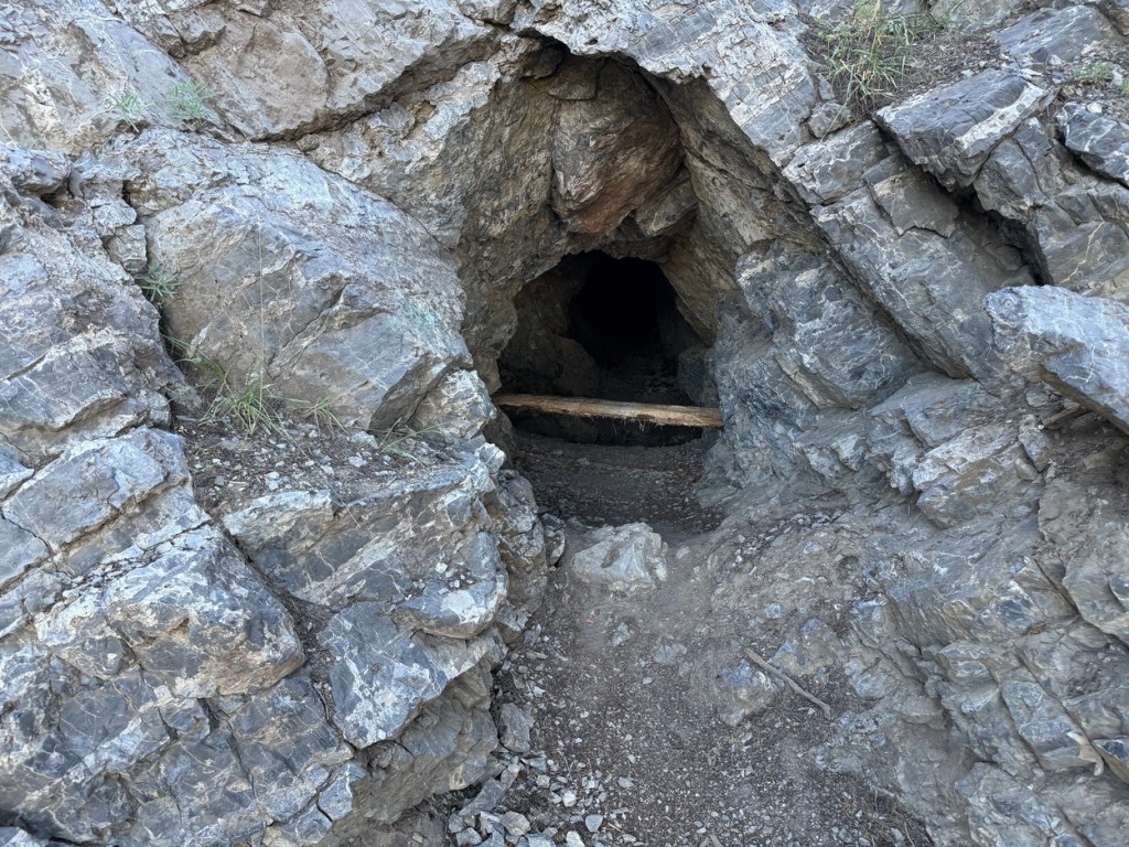
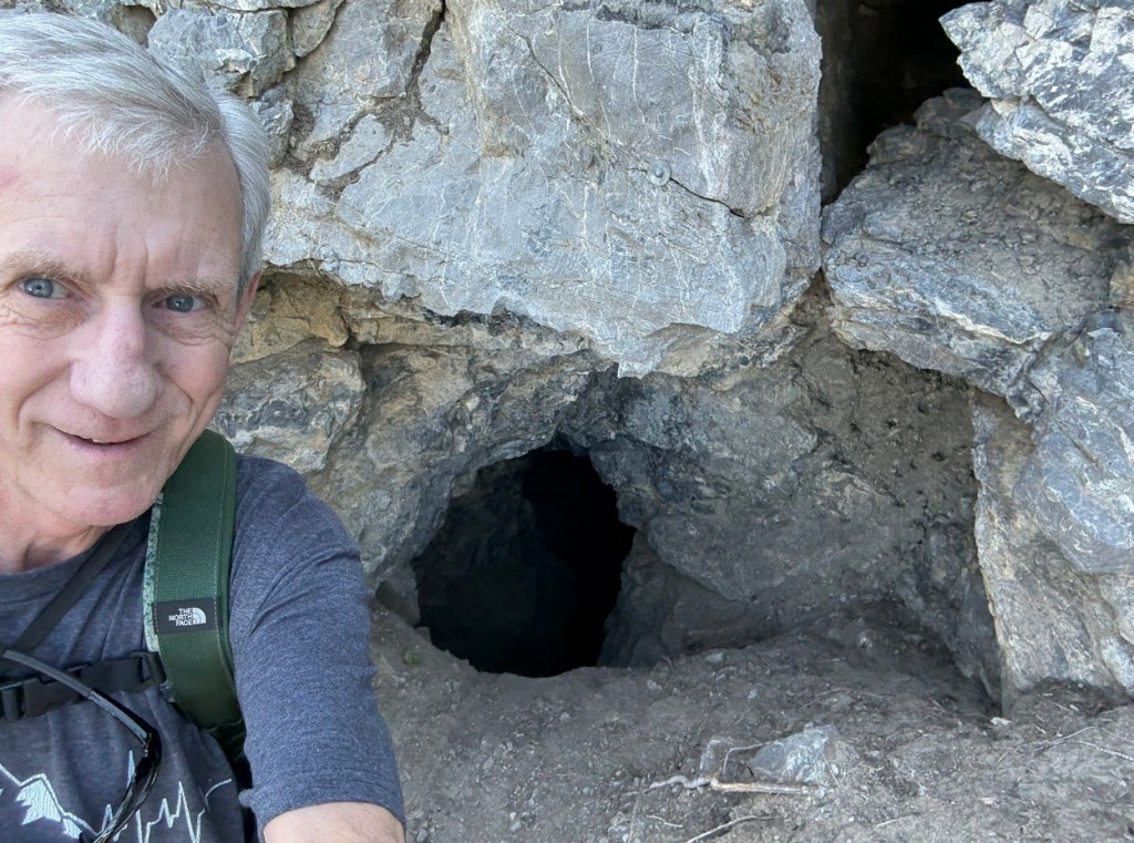
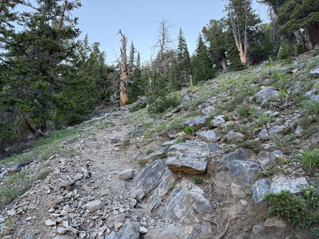
When I got to just over 9,800 feet I saw the remains of an old mining cabin and the entrance to an old mine. Feeling adventurous, I pulled out my phone, turned on the flashlight and went into the mine shaft. I followed the tunnel for a hundred feet and then turned around and headed back out. There was another mine opening higher up (last photo above), but I decided not to risk going in that one.
Beyond this point the trail got wicked steep again. After another quarter mile the ridge to the summit came into view and I knew I was almost to my destination.
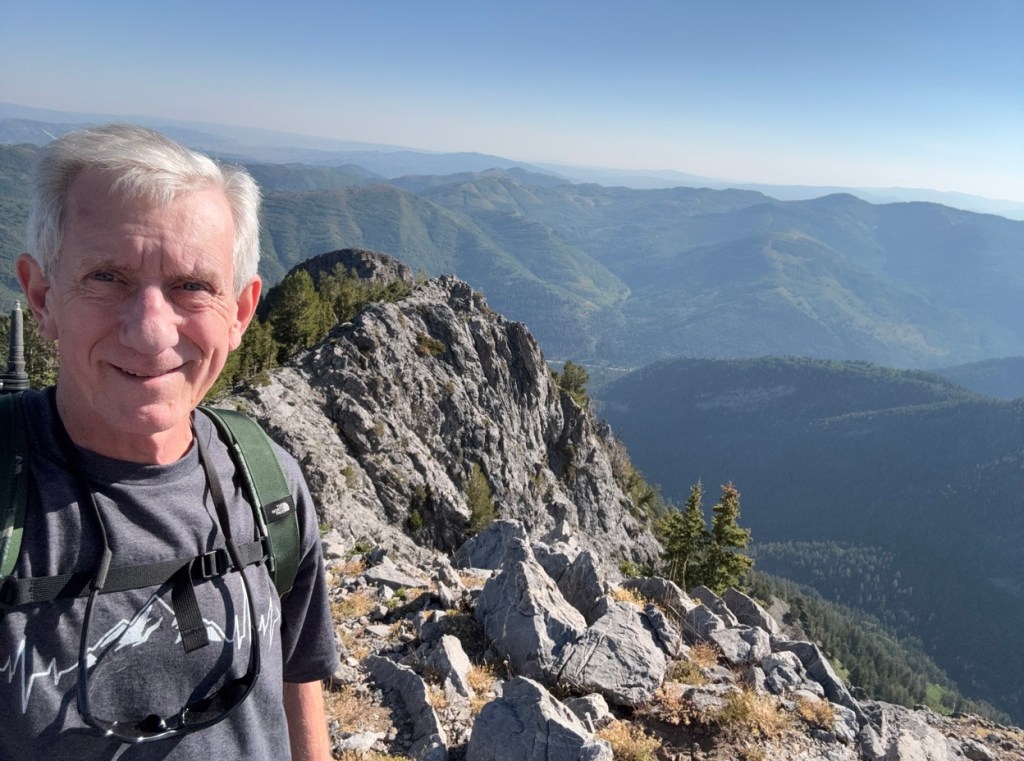
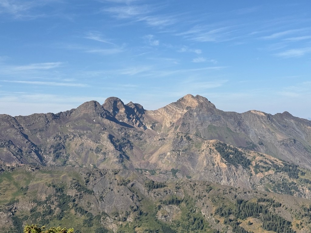
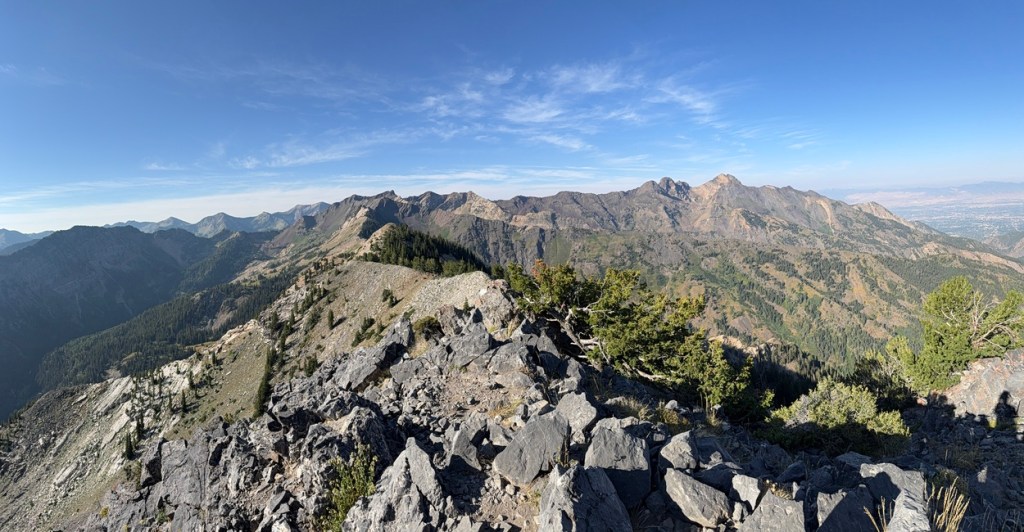
The summit of Kessler is basically the beginning of a ridge that looks like it goes all the way to a point near Cardiff Pass and Monte Cristo Peak in Little Cottonwood Canyon. If you know what to look for you can see Devil’s Castle and Sugarloaf above Alta as well as Hidden Peak and Twin Peaks above Snowbird. You can see Monte Cristo Peak and Mt. Superior and also O’Sullivan, Dromedary Peaks.
After wandering around the summit for a while taking photos and video it was time to head back down. The hike down was as hard as the hike up in places. I took things slowly so I wouldn’t lose my footing on the steeper sections with fairly loose rock and dirt.
Getting back to the Cardiff Fork and Donut Falls trail was a bit of a relief. I knew the final mile and a half would be simple. As I continued down I passed dozens of people hiking to Donut Falls.
I had been on the trail for 5 hours and was ready to get back to my car to have a snack and reflect on what I had just accomplished.
My hike was just under 6.5 miles and climbed a little over 3,000 vertical feet. Kessler Peak was a trail I had wanted to do since first moving to Utah and this Old hiking Dude was thrilled to have finally done it!
By the way, I hiked Kessler Peak via the Reslek Trail later in the year.

Leave a comment