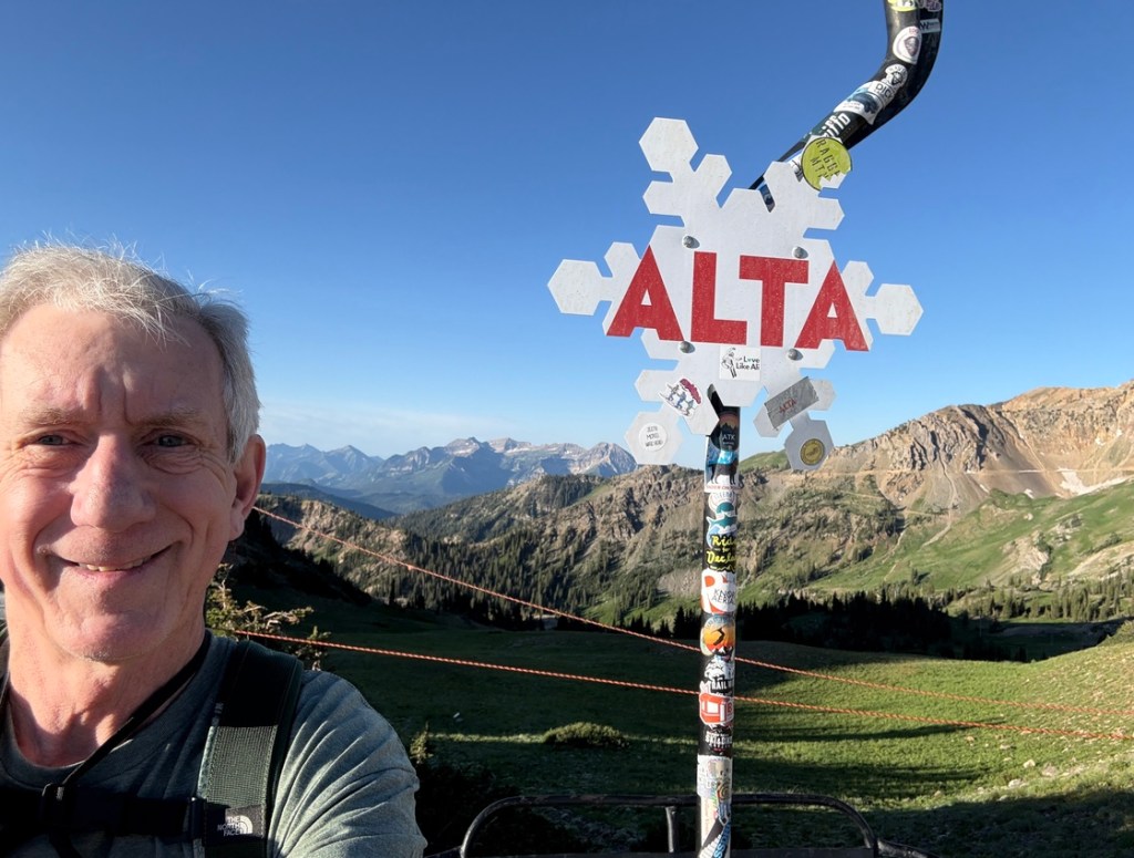
Alta Ski Resort is at top of Little Cotton Canyon in Utah. Alta is just east of the Salt Lake City metro area and is known around the world for amazing skiing. People call the snow at Utah resorts “The Greatest Snow on Earth.” However, Alta also has some incredible hiking, including what I just did.
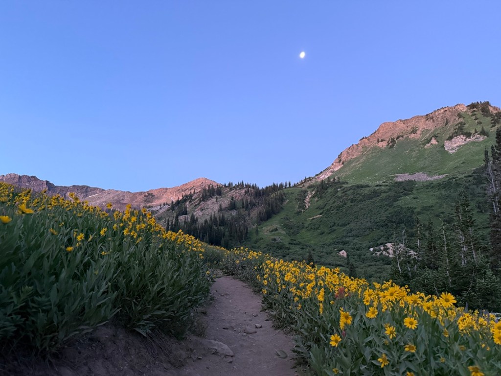
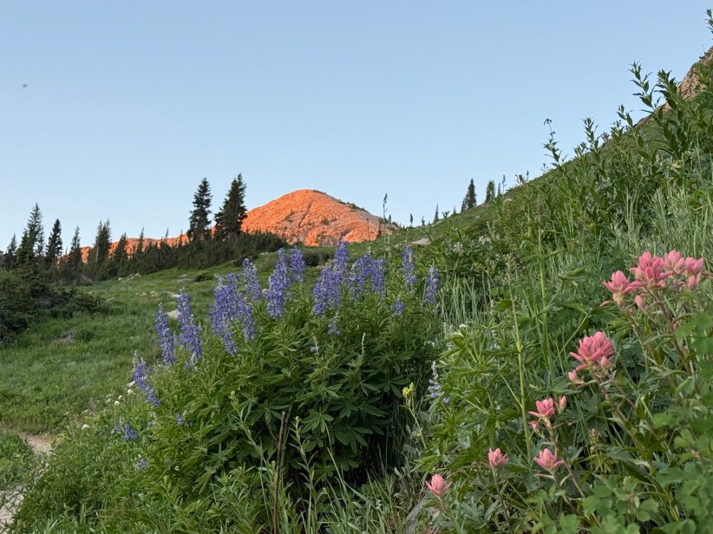
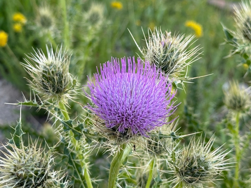
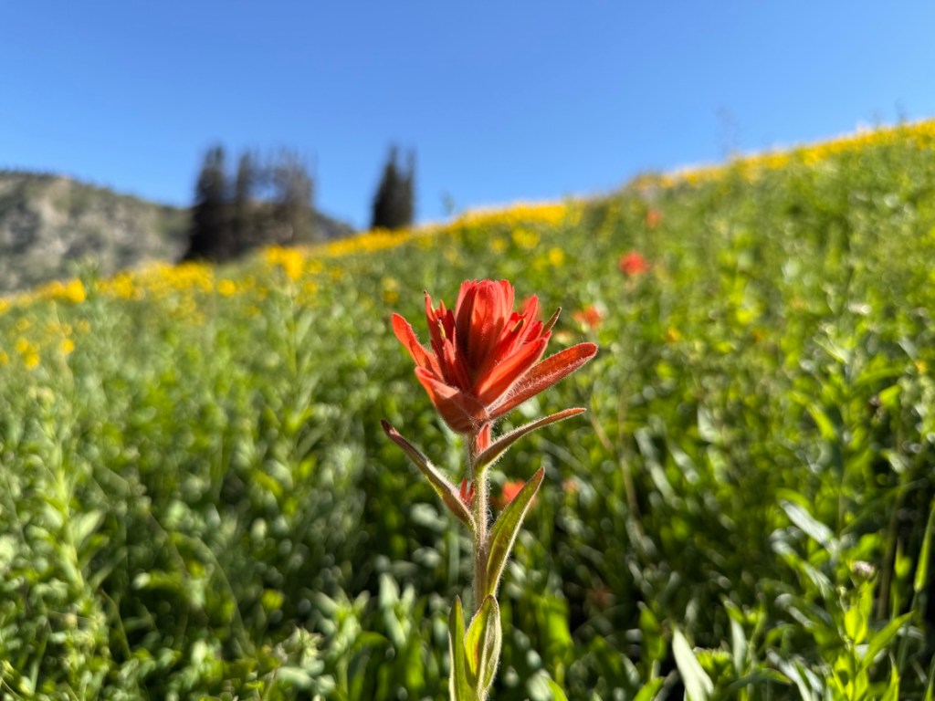
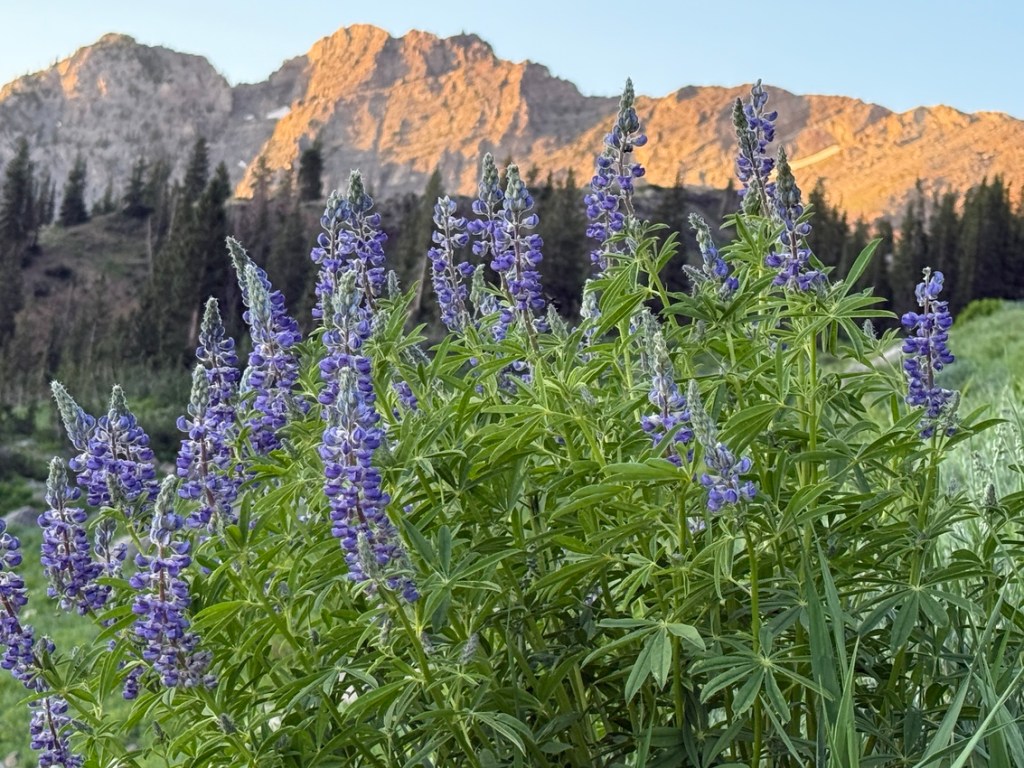
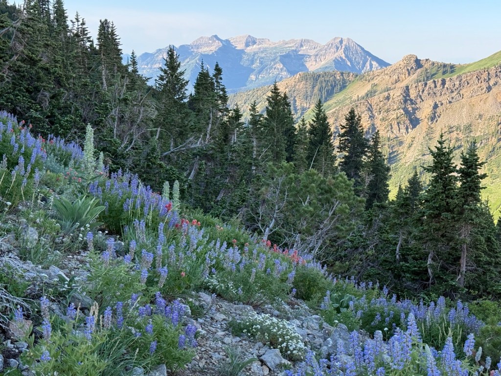
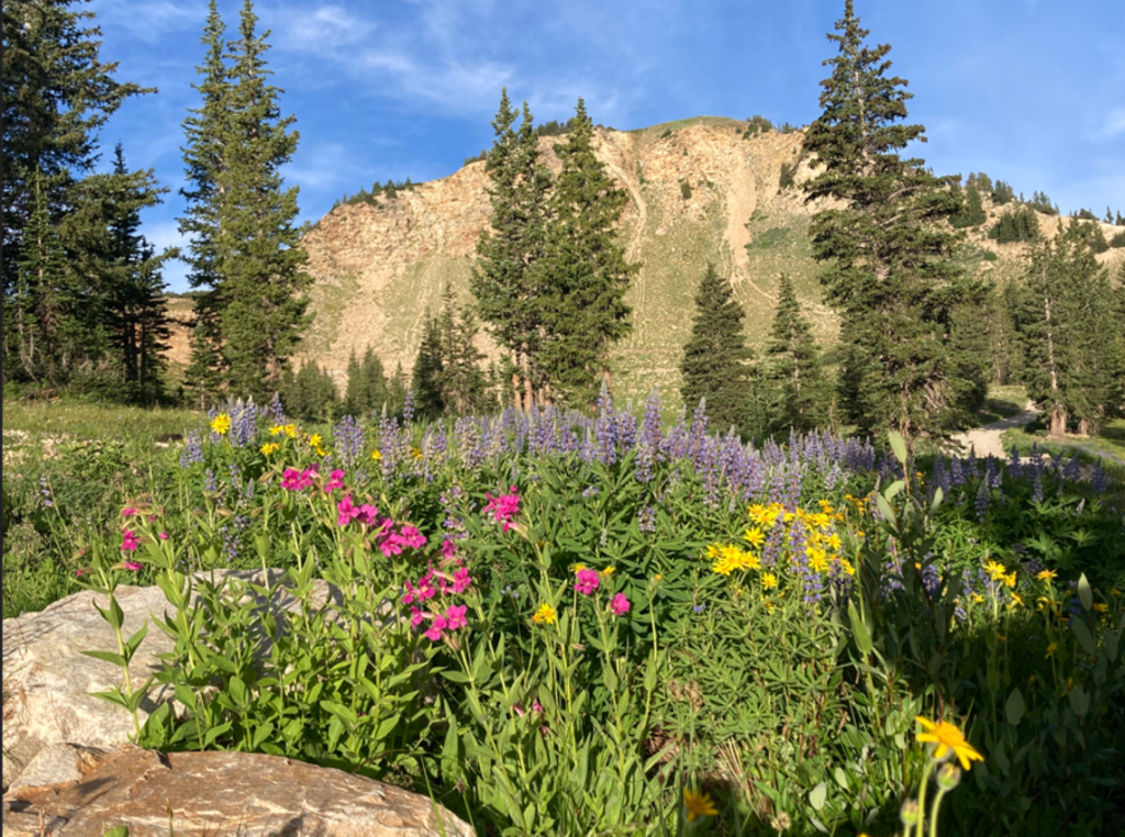
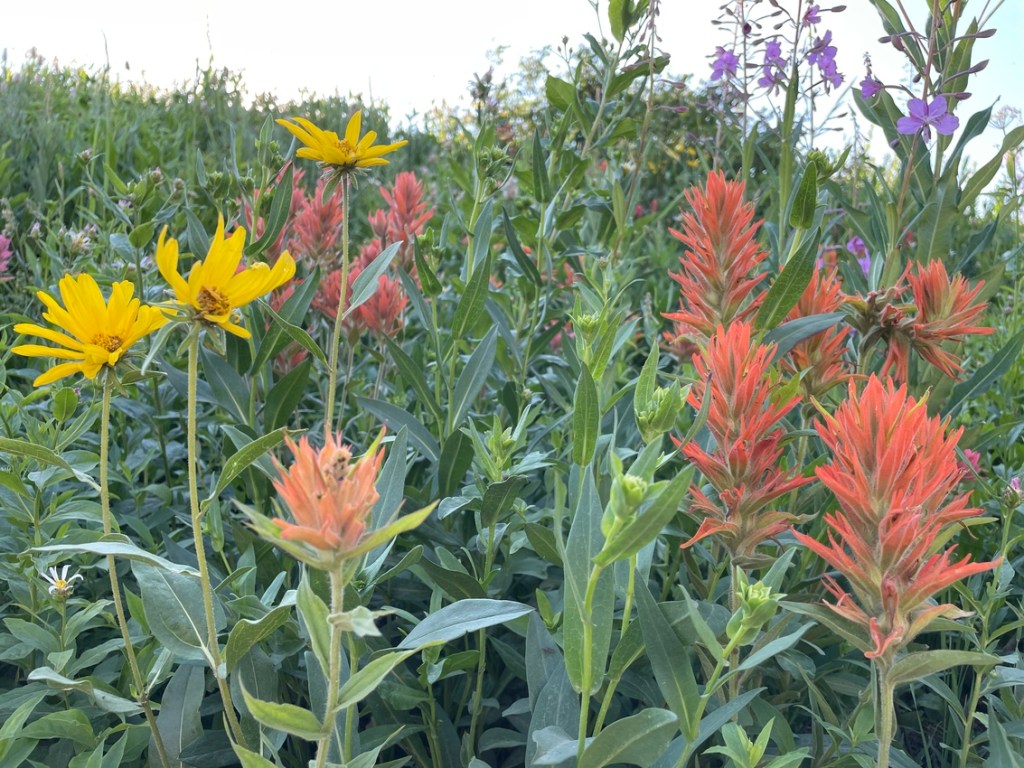
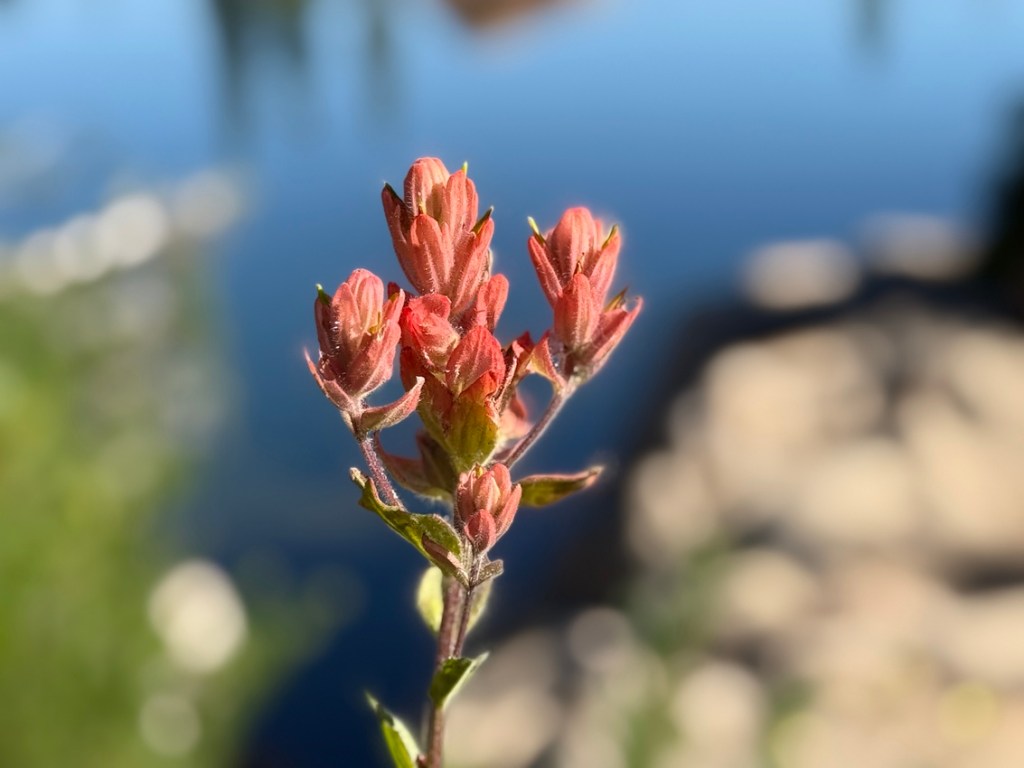
Hiking around Alta is fantastic and going up Sugarloaf Mountain, also called Sugarloaf Peak, is a real treat. My hike started at the base of Alta and went though the Albion Basin, which was supercharged with color from all the wildflowers the area is known for. Past Albion Basin I took the trail that goes to the right just past Alf’s Restaurant. The hiking trail is basically a dirt service road that leads to Germania Pass.
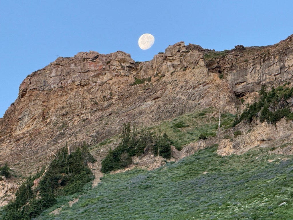
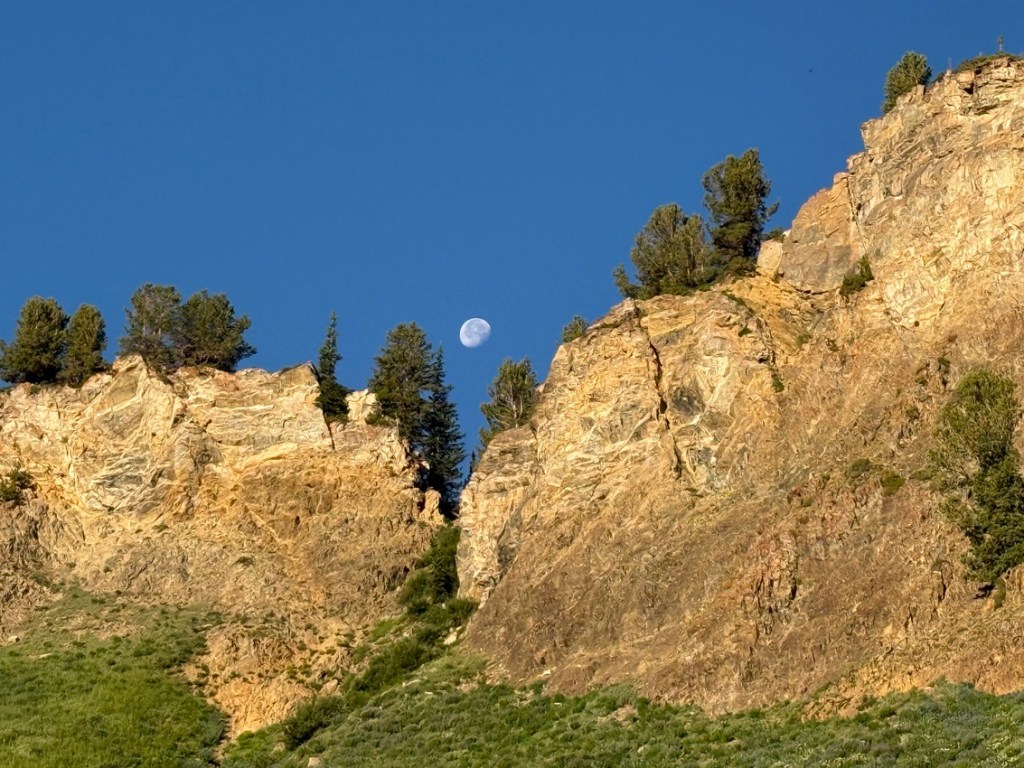
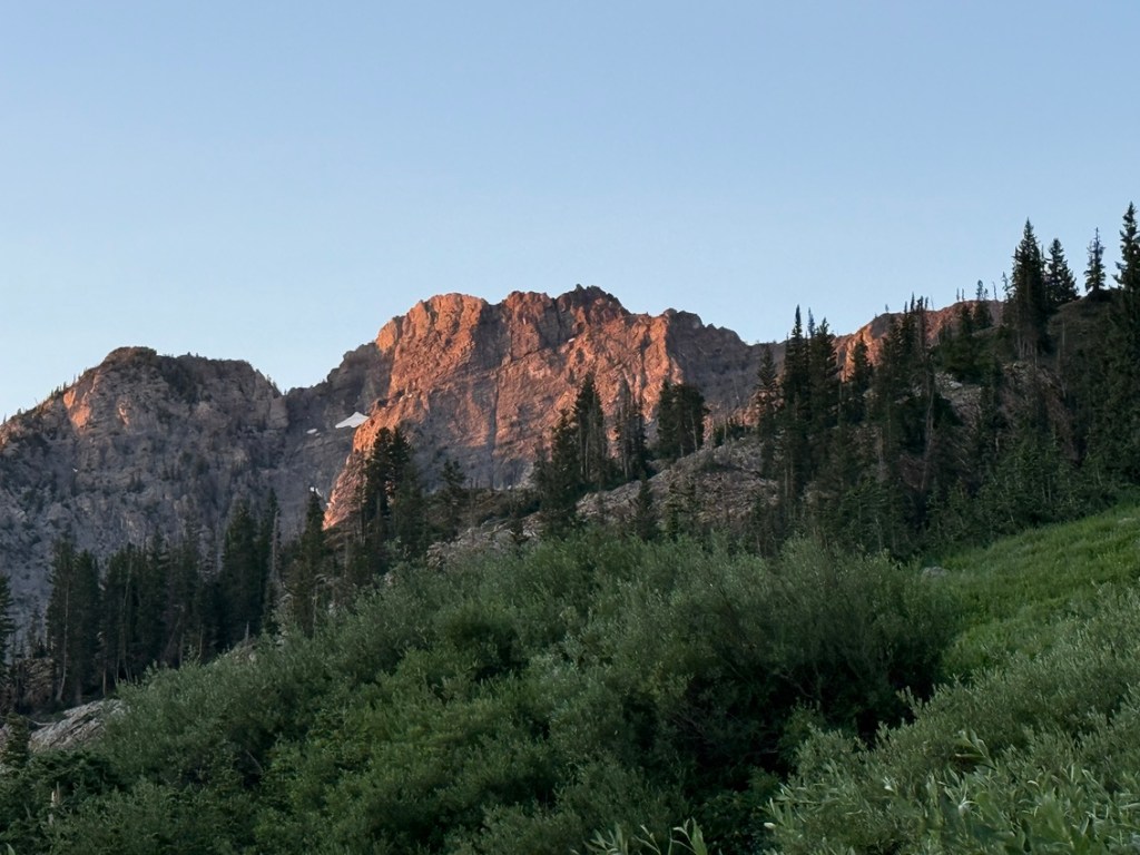
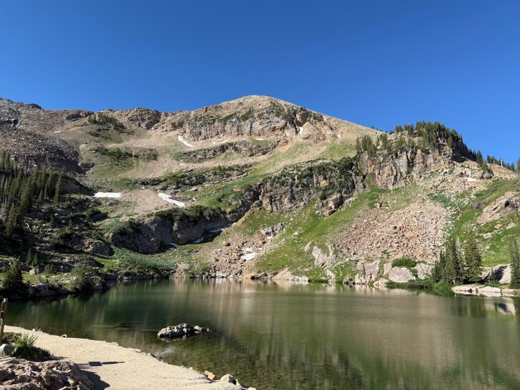
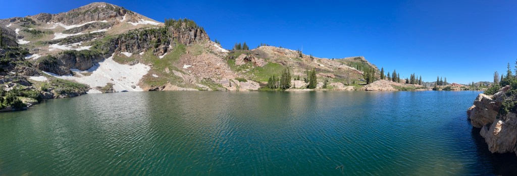
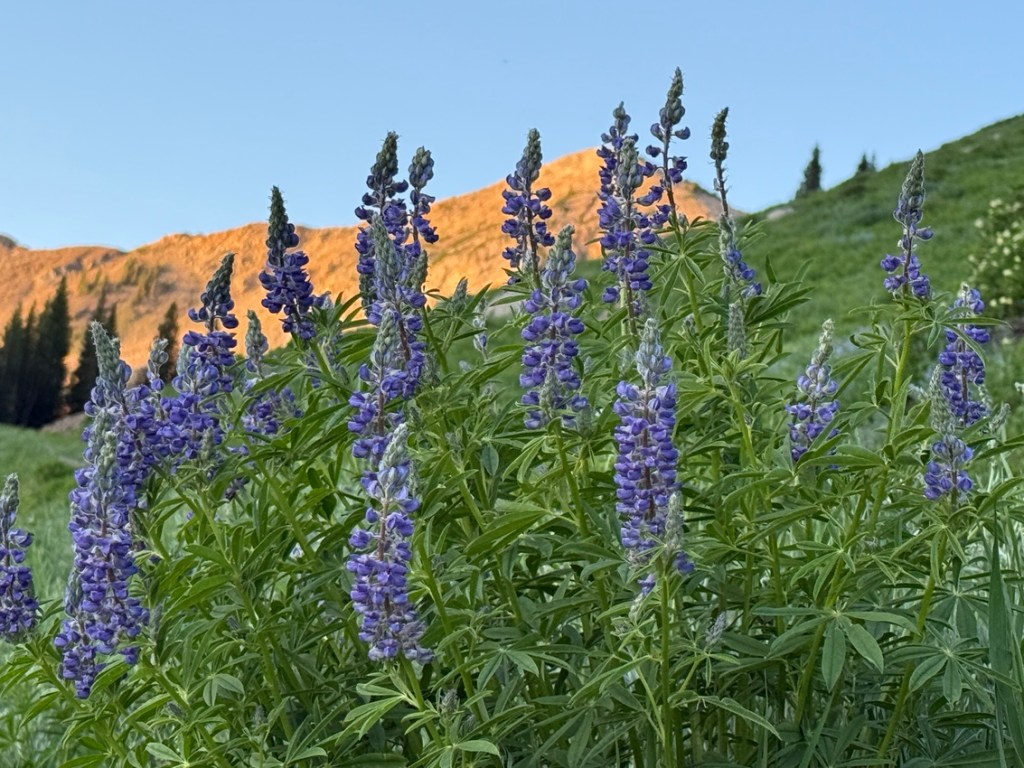
From the turn just past Alf’s the trail traversed east to the base of a ridge. The view over Alta and to the east was impressive. To the south was my destination, Sugarloaf Peak. Devil’s Castle is to the left of Sugarloaf and across the valley is Catherine Pass. The sun rose as I got higher up the trail and lit up Sugarloaf and Devi’s Castle with an orange glow.
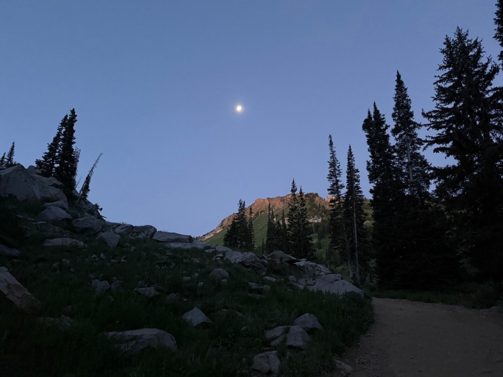
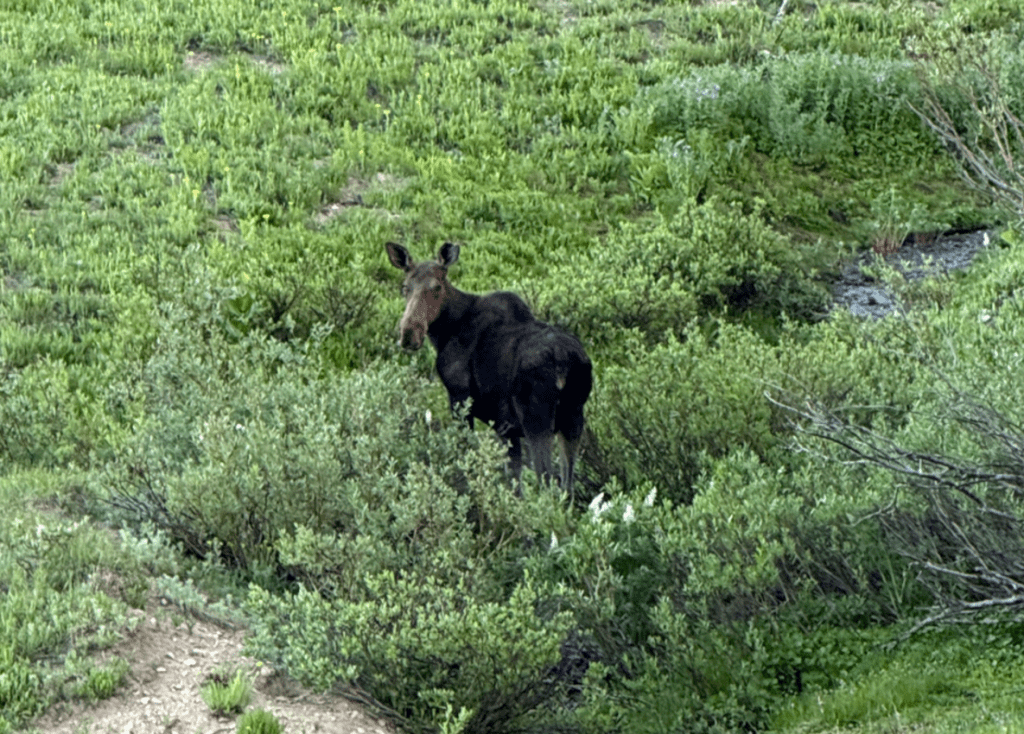
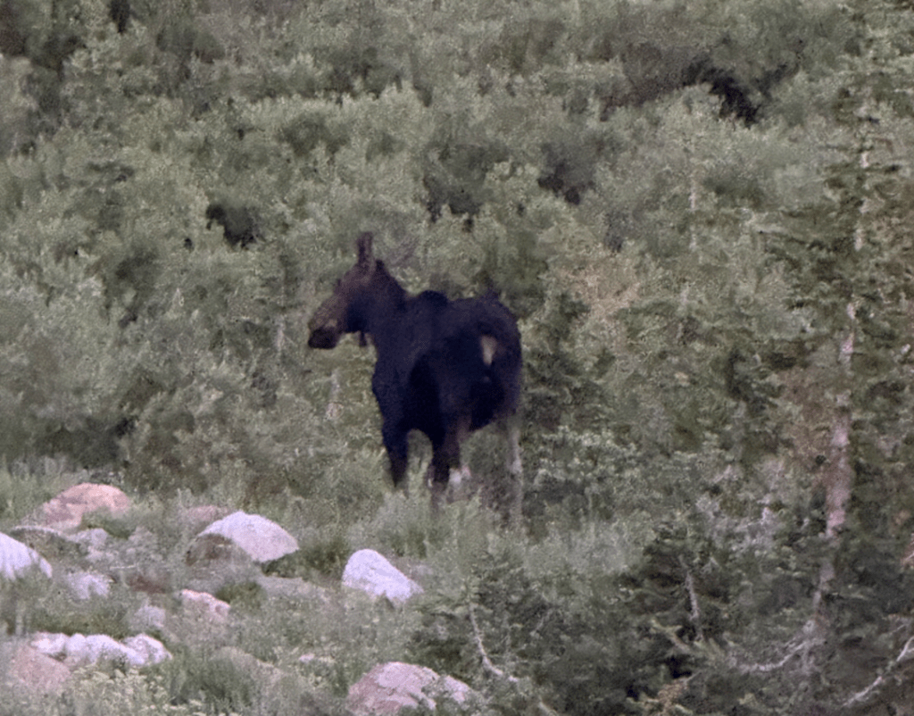
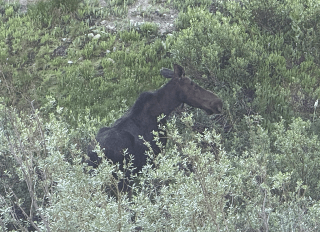
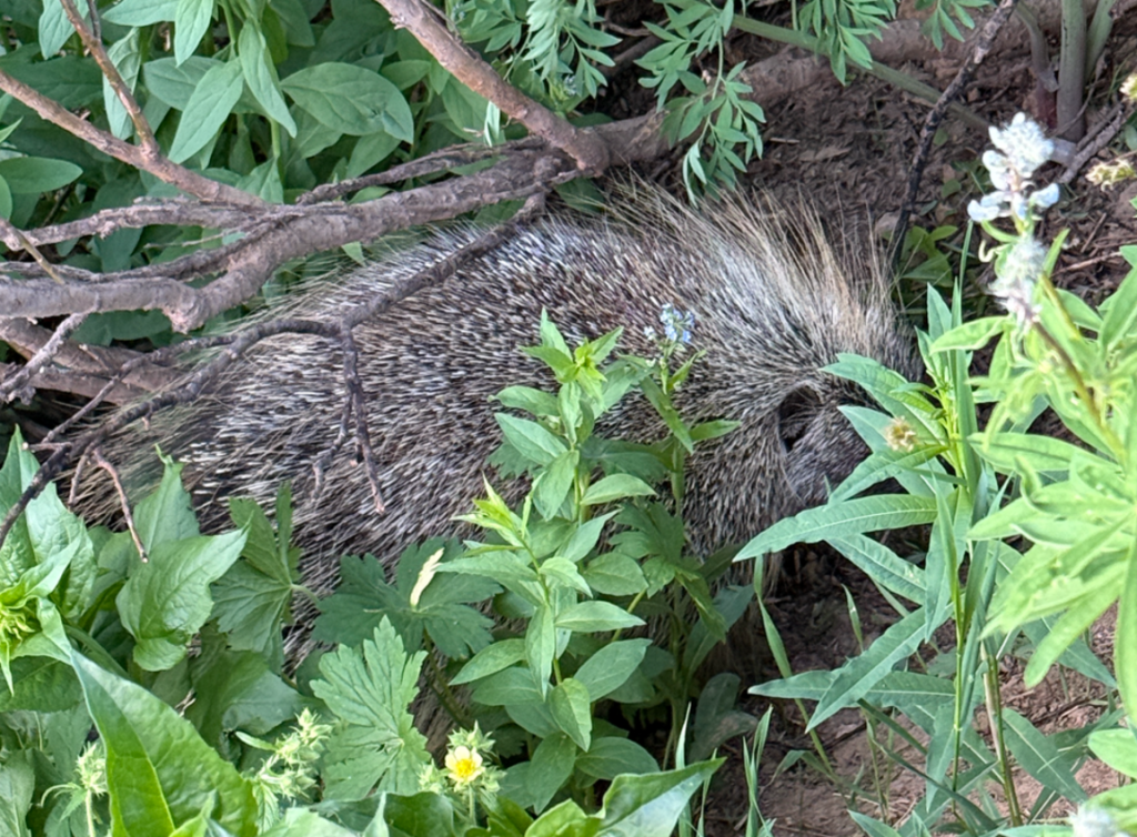
As I usually do when I hike, I got an early start, about 40 minutes before sunrise. Starting early usually gives me a better chance of seeing moose and other wildlife. This hike didn’t disappoint – I was lucky enough to see two moose! I also saw a really chubby porcupine, quite few marmots and ground squirrels, deer, grouse and other assorted birds.
Hiking Alta in July was fun for me because I got to study the trails and bowls without snow. Last winter was my first time skiing Alta and it was nice to check out where I had skied, and where I have not yet been. Studying the terrain gave me a good idea of new places to explore when the lifts start spinning next season.
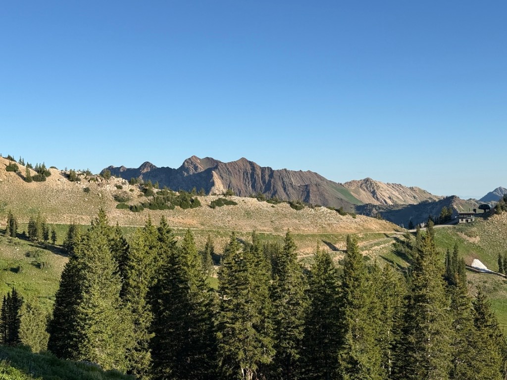
I arrived at the top of the Sugarloaf chairlift about 90 minutes after sunrise. I walked a short distance to Germaina Pass, which separates Alta from Snowbird Resort and took in the view. The temperature was still pretty cool and that made going up Sugarloaf Peak very comfortable. The trail up the west side was steep in places with some loose dirt and rock. It required a slight amount of route finding over areas of large rocks and small boulders. The view on the way up was amazing. The Mineral Basin side of Snowbird was behind me and Mt. Timpanogos to the south.
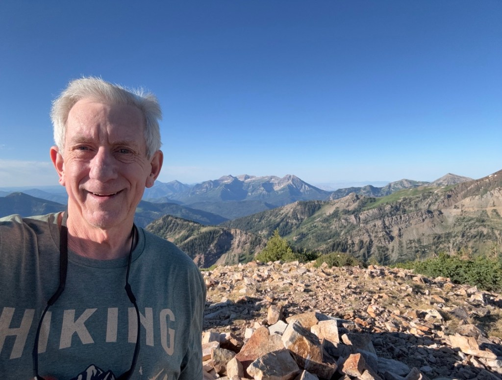
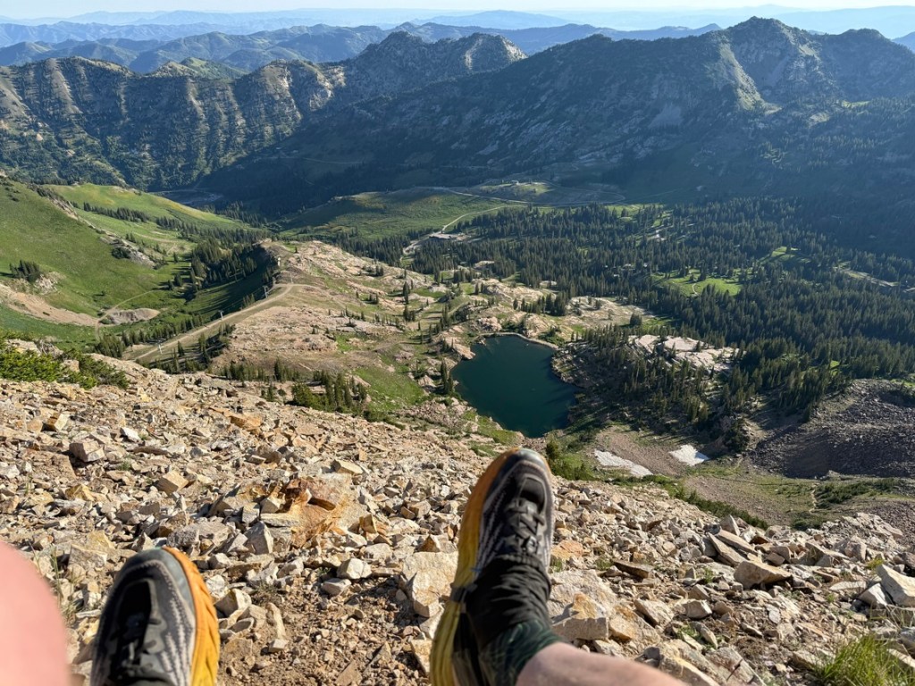
While on the summit of Sugarloaf, which is up at 11,051 feet, I relaxed, drank lots of fluids and took videos and photos. The top of Sugarloaf gave me a 360 degree view of the amazing peaks of the Wasatch Mountains.
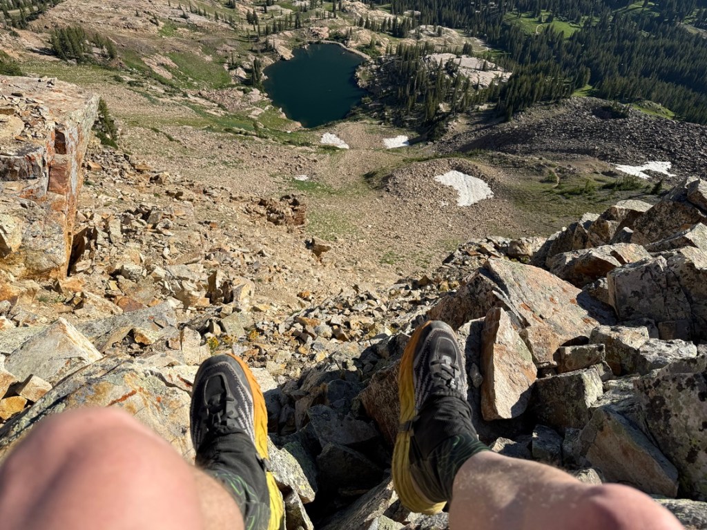
I also looked down on Cecret Lake and over half of the ski trails and bowls of Alta. After lingering a while I headed down the east site toward Devil’s Castle. The trail and vanished under rocks boulders at times and went along the edge of a cliff for a while.
The trail leveled out and went through a fairly level grassy area before dropping to the steep and somewhat tricky trail down to Cecret Lake. The tricky thing isn’t the steepness, but the trail had difficult footing in places thanks to loose dirt and rocks.
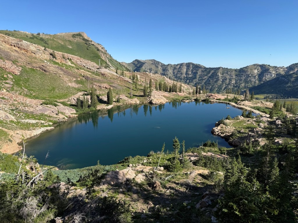
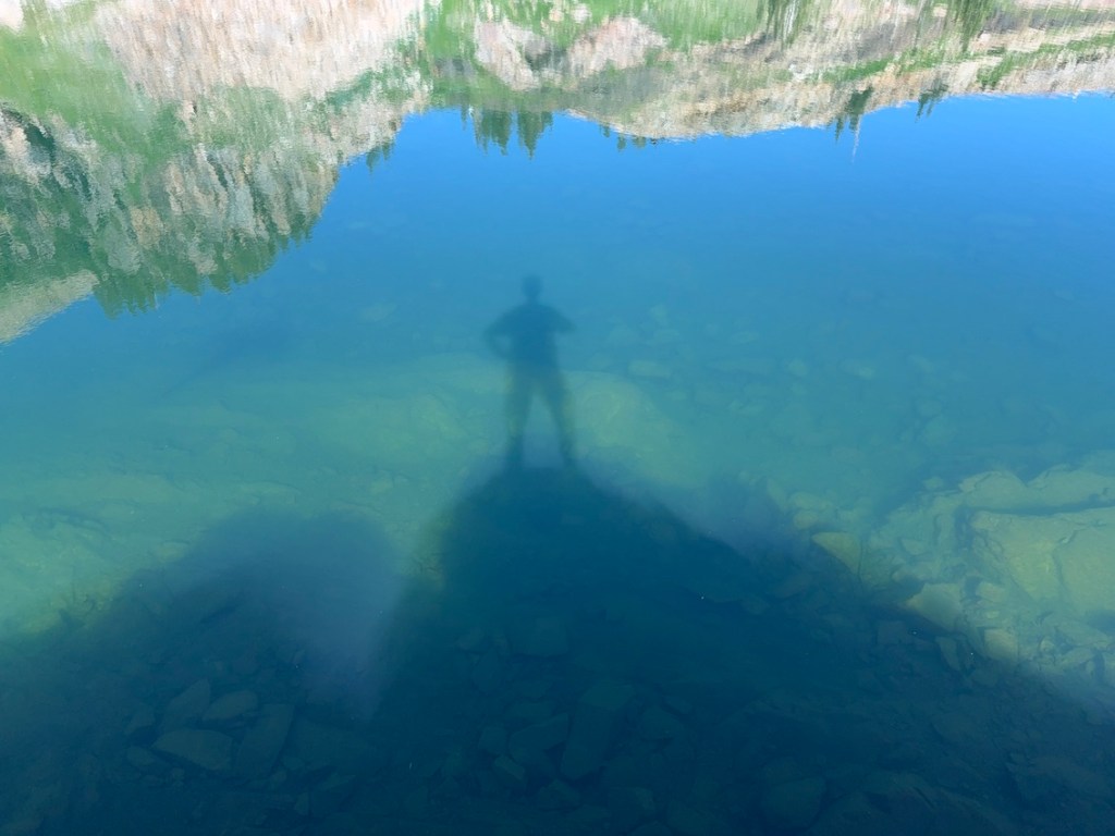
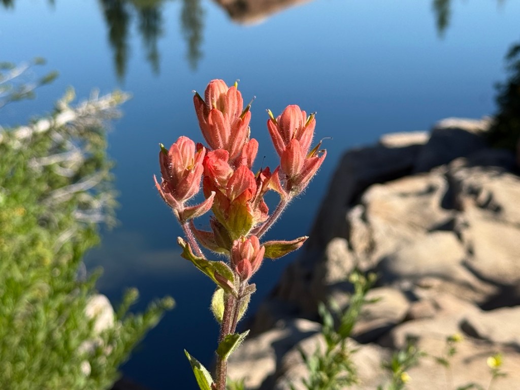
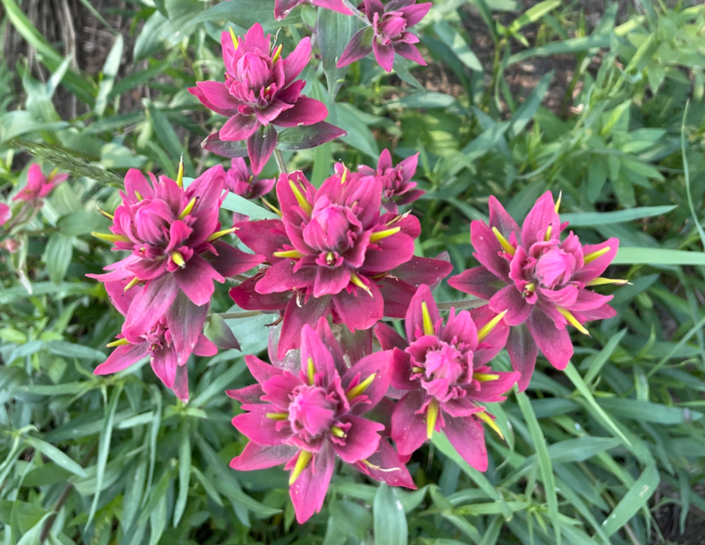
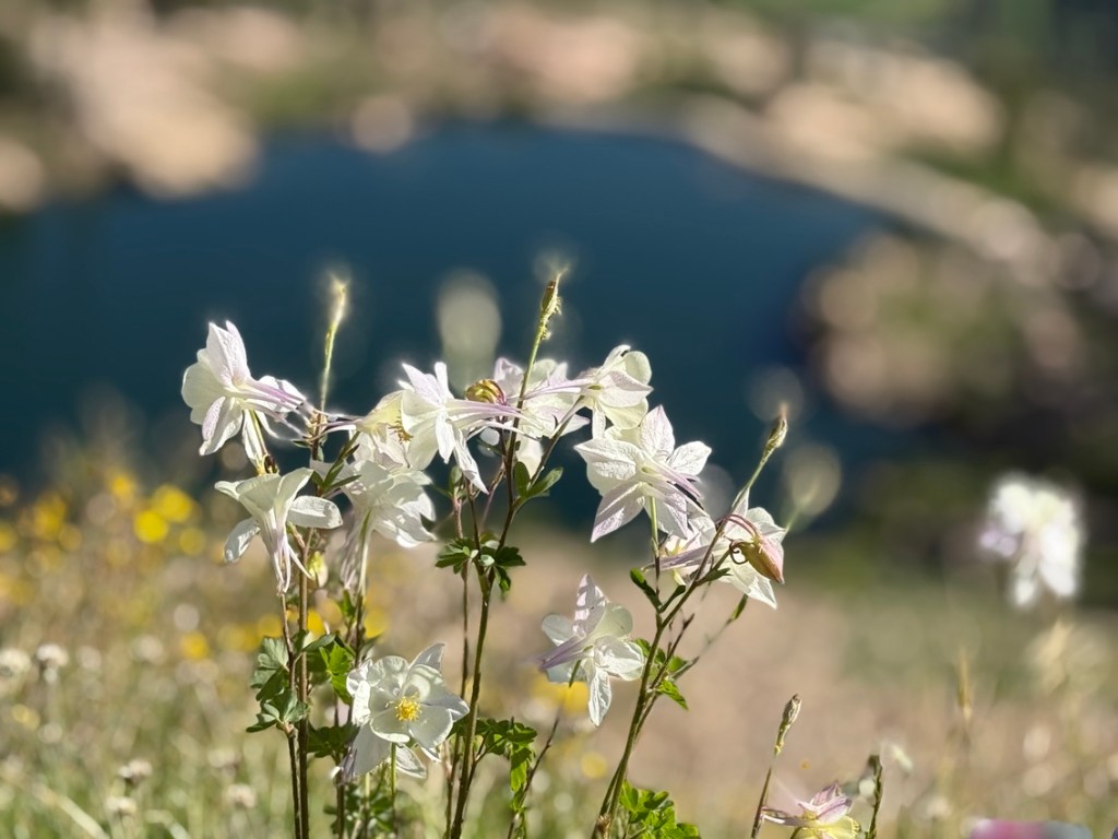
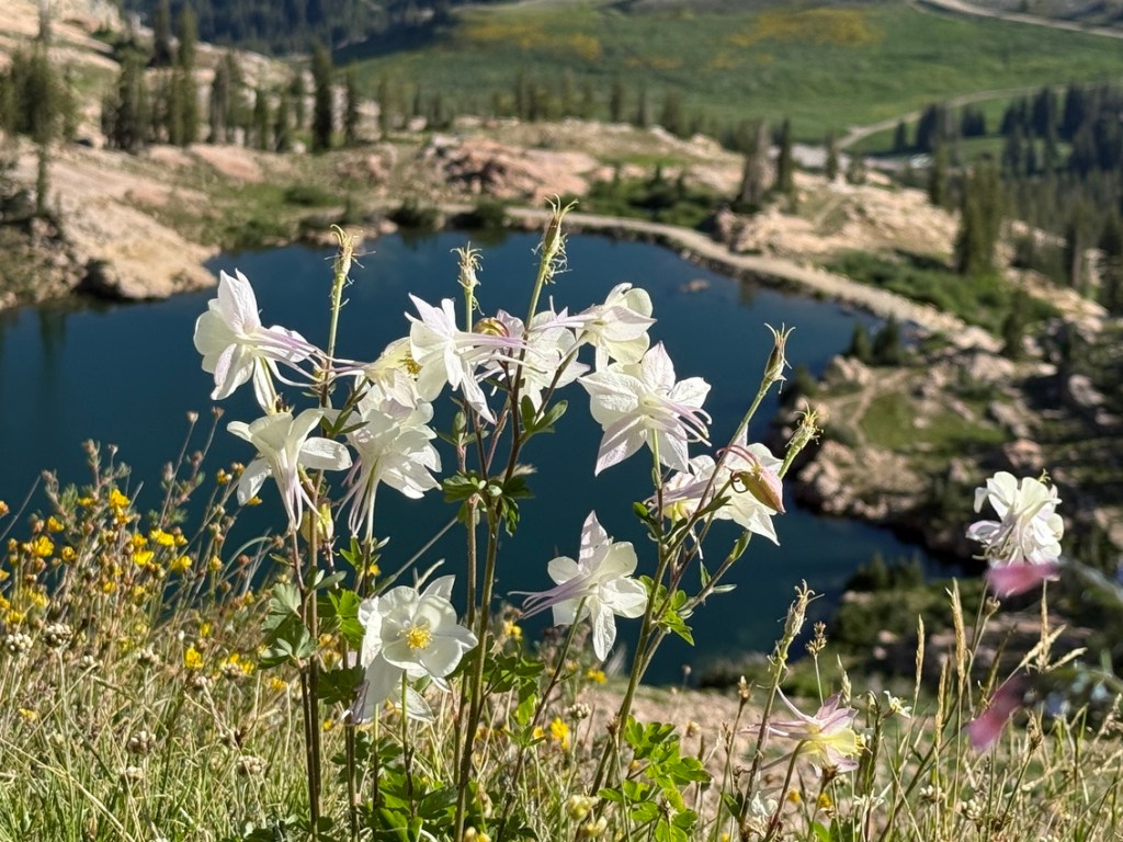
Cecret Lake is at the base of Sugarloaf Mountain and is one of the most popular hiking destinations in either of the Cottonwood Canyons. After lingering at the lake for a while I went down the rocky trail a short distance before getting on the service road that went back down to Alf’s Restaurant. At that point there were several options in terms of trails back through Albion Basin, where the wildeflowers were out in force!
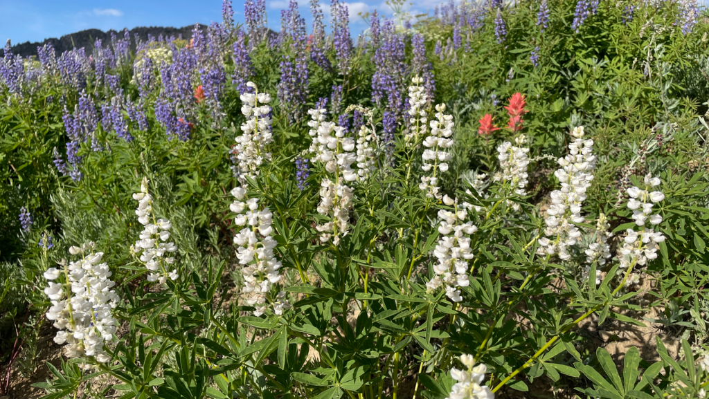
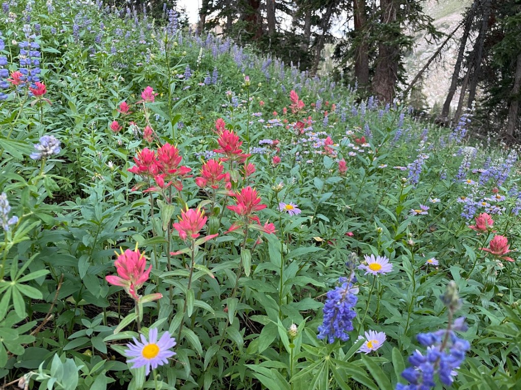
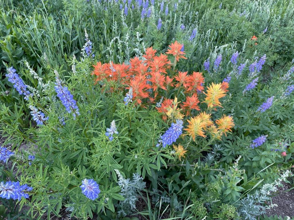
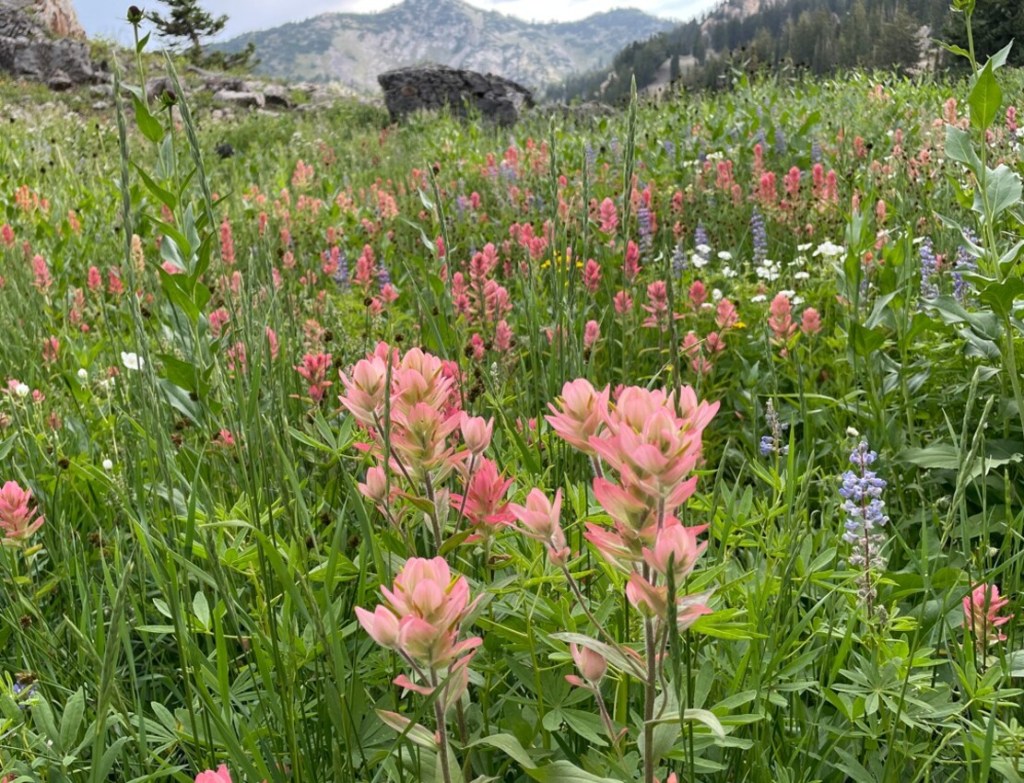
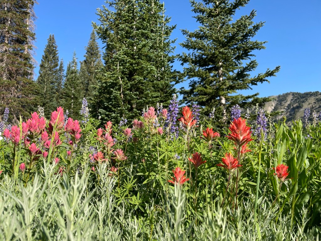
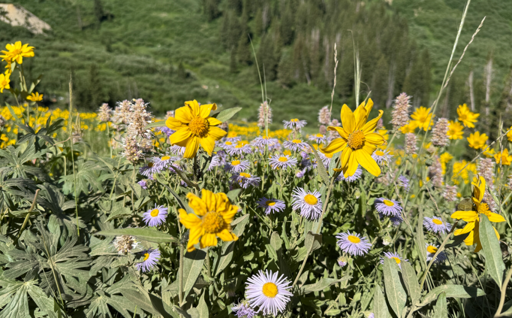
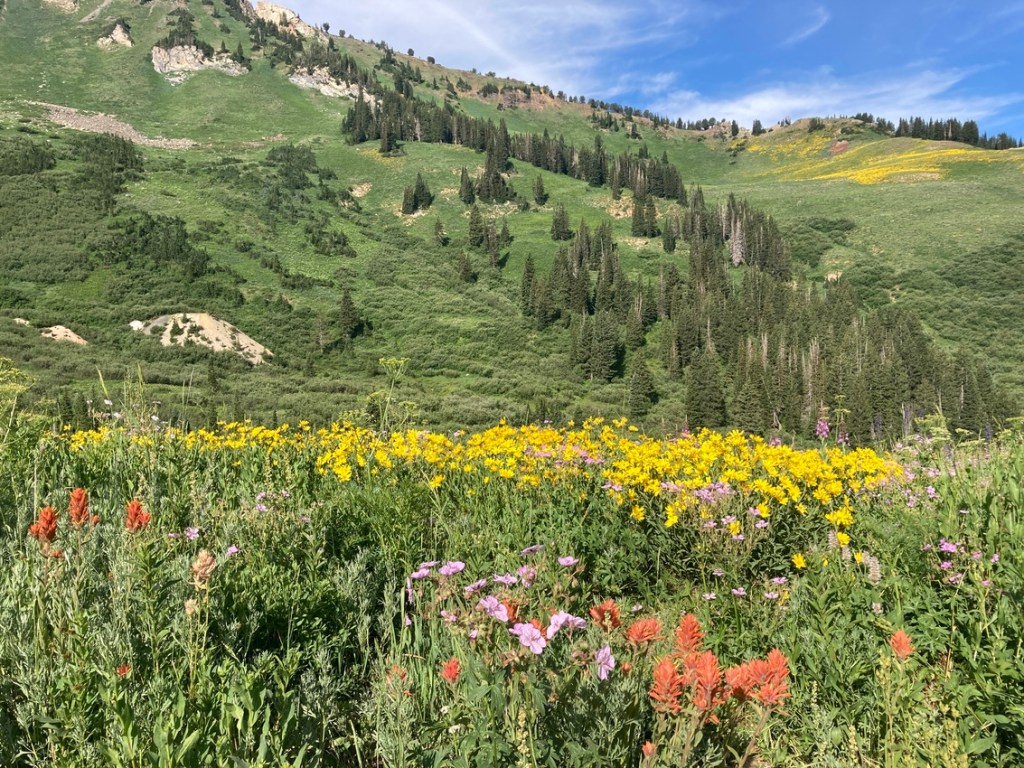
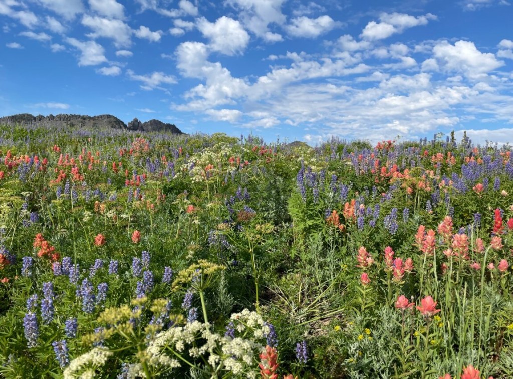
The wildflowers were amazing and the trails were getting crowded. I finished the hike, which was around 7.2 miles long, and over 2,500 vertical feet in just over 4 hours.
Parking at the base of Alta is plentiful by the Albion Grill and off the road above. Click HERE for a map of the parking area.

Leave a comment